
Arendsee
Lac allemand
The Lake Arend (German: Arendsee, pronounced [ˈaːʁɛntˌzeː] ) is a natural lake in the Altmark region, northern Saxony-Anhalt, Germany. It is 23.3 m above sea level, and its area is 5.14 km2, its depth nearly 50 m. It is the largest and deepest natural lake in Saxony-Anhalt.
Nº Q641949 ★★★
Rare · Lieux
Arendsee
Lac allemand
The Lake Arend (German: Arendsee, pronounced [ˈaːʁɛntˌzeː] ) is a natural lake in the Altmark region, northern Saxony-Anhalt, Germany. It is 23.3 m above sea level, and its area is 5.14 km2, its depth nearly 50 m. It is the largest and deepest natural lake in Saxony-Anhalt.
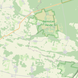
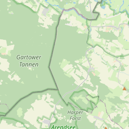
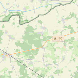
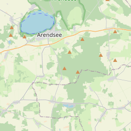
Sur la carte
Dernier prix
—
Prix plancher
—
Médiane 7 j
—
Ventes 30 j
0
Fourchette 30 j
—
En circulation
0
Cours
médiane
min – max
ventes
Aucune vente sur la période
Voir le tableau
| Date | médiane | Min | Max | ventes |
|---|
Historique des ventes
- Dernière vente
- —
- Moyenne 30 j
- —
- Plus bas 30 j
- —
- Plus haut 30 j
- —
- Ventes 7 j
- 0
- Ventes 30 j
- 0
Aucune vente pour l'instant.
Ventes anonymes : ni acheteur ni vendeur. Les chiffres ne comptent que les ventes entre joueurs.
Sur Wikipédia
Texte en anglais Pas encore d'article dans ta langue : extrait en anglais.
The Lake Arend (German: Arendsee, pronounced [ˈaːʁɛntˌzeː] ) is a natural lake in the Altmark region, northern Saxony-Anhalt, Germany. It is 23.3 m above sea level, and its area is 5.14 km2, its depth nearly 50 m. It is the largest and deepest natural lake in Saxony-Anhalt. The lake lies on top of a salt dome and developed by repeated caving-in events that continued into historical time; at the end of the 19th century it was believed to have been created by an earthquake in 815 AD. Hydrologically, the lake is more or less isolated with only a small artificial outflow connecting with the Elbe river via the river Jeetzel. The water body (0.147 bill. m3) only changes every 100 years. The town Arendsee and the municipality Schrampe are situated on its shores.
Texte : Wikipédia en anglais, CC BY-SA 4.0. · Image : Henryk Schulz (HenrykS at de.wikipedia) (CC BY-SA 3.0) ·
Cartes voisines
-

Lac d'Oranke
Lac allemand
Nº Q2028278 ★★
Pas en vente
-

Schladitzer See
Lac allemand
Nº Q2237951 ★★★
Pas en vente
-

Concordiasee
Lac allemand
Nº Q1124200 ★★★
Pas en vente
-

Lanzer See
Lac allemand
Nº Q1805659 ★
Pas en vente
-

Zeuthener See
Lac situé au sud-est de Berlin, en Allemagne
Nº Q59421 ★★
Pas en vente
-

Rätzsee
Lac allemand
Nº Q2178580 ★★
Pas en vente