


Beinn Eighe
Montagne dans les Highlands, Écosse, Royaume-Uni
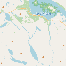
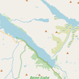
Beinn Eighe (Scottish Gaelic for 'file mountain') is a mountain massif in the Torridon area of Wester Ross in the Northwest Highlands of Scotland. Lying south of Loch Maree, it forms a long ridge with many spurs and summits, two of which are classified as Munros: Ruadh-stac Mòr at 1,010 m (3,314 ft) and Spidean Coire nan Clach at 993 m (3,258 ft).
Nº Q3396296 ★
Commune · Lieux
Beinn Eighe
Montagne dans les Highlands, Écosse, Royaume-Uni
Beinn Eighe (Scottish Gaelic for 'file mountain') is a mountain massif in the Torridon area of Wester Ross in the Northwest Highlands of Scotland. Lying south of Loch Maree, it forms a long ridge with many spurs and summits, two of which are classified as Munros: Ruadh-stac Mòr at 1,010 m (3,314 ft) and Spidean Coire nan Clach at 993 m (3,258 ft).
Sur la carte
Dernier prix
—
Prix plancher
—
Médiane 7 j
—
Ventes 30 j
0
Fourchette 30 j
—
En circulation
0
Cours
médiane
min – max
ventes
Aucune vente sur la période
Voir le tableau
| Date | médiane | Min | Max | ventes |
|---|
Historique des ventes
- Dernière vente
- —
- Moyenne 30 j
- —
- Plus bas 30 j
- —
- Plus haut 30 j
- —
- Ventes 7 j
- 0
- Ventes 30 j
- 0
Aucune vente pour l'instant.
Ventes anonymes : ni acheteur ni vendeur. Les chiffres ne comptent que les ventes entre joueurs.
Sur Wikipédia
Texte en anglais Pas encore d'article dans ta langue : extrait en anglais.
Beinn Eighe (Scottish Gaelic for 'file mountain') is a mountain massif in the Torridon area of Wester Ross in the Northwest Highlands of Scotland. Lying south of Loch Maree, it forms a long ridge with many spurs and summits, two of which are classified as Munros: Ruadh-stac Mòr at 1,010 m (3,314 ft) and Spidean Coire nan Clach at 993 m (3,258 ft). Unlike most other hills in the area it has a cap of Cambrian basal quartzite which gives the peaks of Beinn Eighe a distinctive light colour. Its complex topography has made it popular with both hillwalkers and climbers and the national nature reserve on its northern side makes it an accessible mountain for all visitors.
Texte : Wikipédia en anglais, CC BY-SA 4.0. · Image : Anne Burgess (CC BY-SA 2.0) ·
Cartes voisines
-

Aonach Eagach
Rocky ridge lying to the north of Glen Coe in the Scottish Highlands
Nº Q2293087 ★
Pas en vente
-

Eigg
Île britannique
Nº Q514481 ★
Pas en vente
-

Buachaille Etive Mòr
Montagne britannique
Nº Q2927373 ★
Pas en vente
-

Ben More (Mull)
Montagne britannique
Nº Q3355693 ★
Pas en vente
-

Stac Pollaidh
Mountain in Highland, Scotland, UK
Nº Q3396239 ★
Pas en vente
-

Loudoun Hill
Mountain in East Ayrshire, Scotland, UK
Nº Q4588903 ★
Pas en vente