Beit Jinn
Village in Syria
Beit Jinn (Arabic: بيت جن), also known as Bayt Jin, Beit Jann or Beyt Jene, is a village in southern Syria, administratively part of the Rif Dimashq Governorate, located southwest of Damascus on the foothills of Mount Hermon. According to the Syria Central Bureau of Statistics, Beit Jinn had a population of 2,846 at the 2004 census.
Nº Q15198160 ★★★★
Super rare · Lieux
Beit Jinn
Village in Syria
Beit Jinn (Arabic: بيت جن), also known as Bayt Jin, Beit Jann or Beyt Jene, is a village in southern Syria, administratively part of the Rif Dimashq Governorate, located southwest of Damascus on the foothills of Mount Hermon. According to the Syria Central Bureau of Statistics, Beit Jinn had a population of 2,846 at the 2004 census.
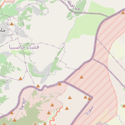
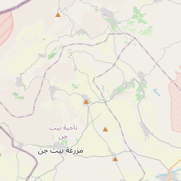
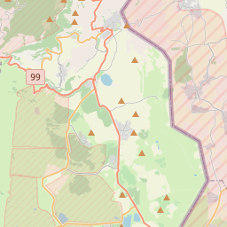
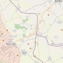
Sur la carte
Dernier prix
—
Prix plancher
—
Médiane 7 j
—
Ventes 30 j
0
Fourchette 30 j
—
En circulation
0
Cours
médiane
min – max
ventes
Aucune vente sur la période
Voir le tableau
| Date | médiane | Min | Max | ventes |
|---|
Historique des ventes
- Dernière vente
- —
- Moyenne 30 j
- —
- Plus bas 30 j
- —
- Plus haut 30 j
- —
- Ventes 7 j
- 0
- Ventes 30 j
- 0
Aucune vente pour l'instant.
Ventes anonymes : ni acheteur ni vendeur. Les chiffres ne comptent que les ventes entre joueurs.
Sur Wikipédia
Texte en anglais Pas encore d'article dans ta langue : extrait en anglais.
Beit Jinn (Arabic: بيت جن), also known as Bayt Jin, Beit Jann or Beyt Jene, is a village in southern Syria, administratively part of the Rif Dimashq Governorate, located southwest of Damascus on the foothills of Mount Hermon. According to the Syria Central Bureau of Statistics, Beit Jinn had a population of 2,846 at the 2004 census. Its inhabitants are predominantly Sunni. The village is the administrative center of the Beit Jinn subdistrict, which consists of nine villages, with a combined population of 15,668. The subdistrict has Sunni population and contains a Druze religious shrine. Nearby localities include Arnah to the north, Darbal to the northeast, Mazraat Beit Jinn to the east, Harfa to the southeast, and Hader to the southwest. The Nahr al-Awaj river (generally identified with the biblical Pharpar) passes near the town.
Texte : Wikipédia en anglais, CC BY-SA 4.0. ·
Cartes voisines

Bor (Russie)
Ville de Russie
Nº Q105360 ★★★★

Vidigal
Quartier de Rio de Janeiro
Nº Q1754633 ★★★★

Kärrtorp
Quartier de Stockholm, en Suède
Nº Q1781261 ★★★★
Loutra Elenis
Village in Greece, Peloponnese, Corinthia
Nº Q3556063 ★★★★
Nya Lödöse
Nº Q10604271 ★★★★

Lago del Brasimone
Lac italien
Nº Q3825837 ★★★★