

Commune · Lieux
Dunstable Downs
Escarpment in Bedfordshire, England, UK
Dunstable Downs are a prominent chalk escarpment of the Chiltern Hills, immediately south-west of Dunstable in southern Bedfordshire, England. The Downs rise to approximately 243 metres (797 ft) above sea level, forming the highest ground in Bedfordshire, and overlook the Vale of Aylesbury to the west.
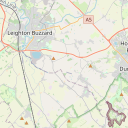
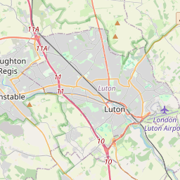
Sur la carte
Sur Wikipédia
Texte en anglais Pas encore d'article dans ta langue : extrait en anglais.
Dunstable Downs are a prominent chalk escarpment of the Chiltern Hills, immediately south-west of Dunstable in southern Bedfordshire, England. The Downs rise to approximately 243 metres (797 ft) above sea level, forming the highest ground in Bedfordshire, and overlook the Vale of Aylesbury to the west. The escarpment lies within the Chilterns National Landscape and much of it forms part of the biologically important Dunstable and Whipsnade Downs Site of Special Scientific Interest (SSSI). The landscape preserves evidence of human activity over several millennia. The Five Knolls round-barrow cemetery originated in the late Neolithic or Bronze Age and was reused during later periods; other surviving remains include ancient trackways and hollow ways, a medieval rabbit warren, the site of an Elizabethan warning beacon, an early nineteenth-century Admiralty telegraph station and a nineteenth-century rifle range. The Downs were also historically used as common pasture, and centuries of grazing played an important role in creating their characteristic chalk grassland. From the eighteenth and nineteenth centuries the Downs increasingly became a recreational landscape for Dunstable and the surrounding region. A long-running Good Friday custom of orange rolling attracted large crowds to Pascombe Pit; railway excursions, cycling, golf, and later motor tourism brought visitors from farther afield. Gliding began below the Downs in 1930, while the opening of Whipsnade Zoo in 1931 and its enormous chalk-cut White Lion hill figure reinforced the area's role as a visitor destination. Published estimates illustrate the scale of modern recreational use: the opening of the Chiltern Gateway Centre in 2007 was reported as serving a landscape receiving around 400,000 visitors annually, while a Chilterns Conservation Board report in 2021 placed annual visits at around 750,000. Today, the Downs are used for walking, cycling, kite flying, gliding, running, hang gliding, paragliding, outdoor education and community events. Management combines recreation...
Texte : Wikipédia en anglais, CC BY-SA 4.0. · Image : Roger Cornfoot (CC BY-SA 2.0) ·


