
Haaglanden
Former city region
Parts of this article have been translated from the Dutch version of this page Haaglanden (Dutch pronunciation: [ˈɦaːxlɑndə(n)], literally Haguelands) was a conurbation surrounding The Hague in the Netherlands from 1992 until 2015. The city's position as the country's seat of government made the region prominent in the Netherlands.
Nº Q1239487 ★★★
Rare · Lieux
Haaglanden
Former city region
Parts of this article have been translated from the Dutch version of this page Haaglanden (Dutch pronunciation: [ˈɦaːxlɑndə(n)], literally Haguelands) was a conurbation surrounding The Hague in the Netherlands from 1992 until 2015. The city's position as the country's seat of government made the region prominent in the Netherlands.
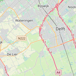
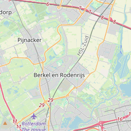
Sur la carte
Dernier prix
—
Prix plancher
—
Médiane 7 j
—
Ventes 30 j
0
Fourchette 30 j
—
En circulation
0
Cours
médiane
min – max
ventes
Aucune vente sur la période
Voir le tableau
| Date | médiane | Min | Max | ventes |
|---|
Historique des ventes
- Dernière vente
- —
- Moyenne 30 j
- —
- Plus bas 30 j
- —
- Plus haut 30 j
- —
- Ventes 7 j
- 0
- Ventes 30 j
- 0
Aucune vente pour l'instant.
Ventes anonymes : ni acheteur ni vendeur. Les chiffres ne comptent que les ventes entre joueurs.
Sur Wikipédia
Texte en anglais Pas encore d'article dans ta langue : extrait en anglais.
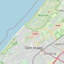
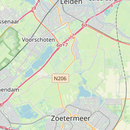
Parts of this article have been translated from the Dutch version of this page Haaglanden (Dutch pronunciation: [ˈɦaːxlɑndə(n)], literally Haguelands) was a conurbation surrounding The Hague in the Netherlands from 1992 until 2015. The city's position as the country's seat of government made the region prominent in the Netherlands. Located on the west coast of the province of South Holland, the region had a population of 1,050,543 in September 2013, and covered an area of 405 km². Haaglanden was an official term referring to an urban region literally called Haaglanden Urban Region (Stadsgewest Haaglanden). The official website of Haaglanden used the English translation The Hague Region. Another translation would have been the Greater Hague Area. The term was also sometimes used to refer to the conurbation of The Hague in a general, informal sense; "the Hague area" or "the area around The Hague". This area was often treated as a single unit for organisational or statistical purposes. Haaglanden was part of the larger Rotterdam The Hague Metropolitan Area. On 1 January 2015 Haaglanden was merged into the Rotterdam–The Hague metropolitan area. Haaglanden has since only existed as a safety region. Its use for statistical purposes has since been replaced by the Greater The Hague and Delft & Westland COROP regions. In 2018, South Holland province commissioned a study into the economic benefits of reviving the urban region.
Texte : Wikipédia en anglais, CC BY-SA 4.0. · Image : LennartBolks at Dutch Wikipedia (Public domain) ·
Cartes voisines

La Haye
Ville siège du gouvernement des Pays-Bas et chef-lieu de la province de Hollande-Méridionale
Nº Q36600 ★★★★★

Zoetermeer
Commune néerlandaise en Hollande-Méridionale
Nº Q26432 ★★

Leyde
Commune néerlandaise en Hollande-Méridionale
Nº Q43631 ★★★★

Wassenaar
Commune néerlandaise en Hollande-Méridionale
Nº Q505601 ★★★

Vijfheerenlanden (commune)
Commune d'Utrecht, Pays-Bas
Nº Q29032345 ★★★★

Région métropolitaine de Rotterdam-La Haye
Nº Q6174024 ★