
Kamo
Dissolved municipality in Tomata district, Okayama prefecture, Japan
Kamo (加茂町, Kamo-chō) was a town located in Tomata District, Okayama Prefecture, Japan. As of 2003, the town had an estimated population of 5,311 and a density of 33.35 persons per km2. The total area was 159.27 km2.
Nº Q11398868 ★★
Peu commune · Lieux
Kamo
Dissolved municipality in Tomata district, Okayama prefecture, Japan
Kamo (加茂町, Kamo-chō) was a town located in Tomata District, Okayama Prefecture, Japan. As of 2003, the town had an estimated population of 5,311 and a density of 33.35 persons per km2. The total area was 159.27 km2.
Sur la carte
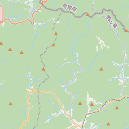
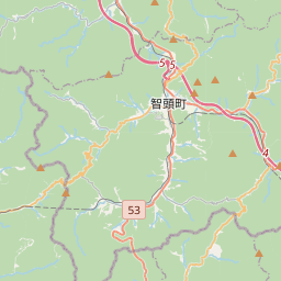
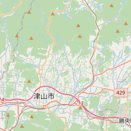
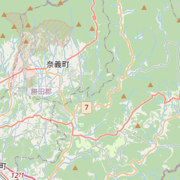
Dernier prix
—
Prix plancher
—
Médiane 7 j
—
Ventes 30 j
0
Fourchette 30 j
—
En circulation
0
Cours
médiane
min – max
ventes
Aucune vente sur la période
Voir le tableau
| Date | médiane | Min | Max | ventes |
|---|
Historique des ventes
- Dernière vente
- —
- Moyenne 30 j
- —
- Plus bas 30 j
- —
- Plus haut 30 j
- —
- Ventes 7 j
- 0
- Ventes 30 j
- 0
Aucune vente pour l'instant.
Ventes anonymes : ni acheteur ni vendeur. Les chiffres ne comptent que les ventes entre joueurs.
Sur Wikipédia
Texte en anglais Pas encore d'article dans ta langue : extrait en anglais.
Kamo (加茂町, Kamo-chō) was a town located in Tomata District, Okayama Prefecture, Japan. As of 2003, the town had an estimated population of 5,311 and a density of 33.35 persons per km2. The total area was 159.27 km2. On February 28, 2005, Kamo, along with the village of Aba (also from Tomata District), the town of Shōboku (from Katsuta District), and the town of Kume (from Kume District), was merged into the expanded city of Tsuyama and no longer exists as an independent municipality.
Texte : Wikipédia en anglais, CC BY-SA 4.0. · Image : Phronimoi (CC BY-SA 3.0) ·
Cartes voisines
-

Kume
Établissement humain au Japon
Nº Q6443783 ★
Pas en vente
-

Aba
Ancienne municipalité japonaise
Nº Q3738966 ★
Pas en vente
-
K
Kamo
Dissolved municipality in Kamo district, Shizuoka prefecture, Japan
Nº Q6358914 ★
Pas en vente
-

Kuma
Établissement humain au Japon
Nº Q3844996 ★
Pas en vente
-
K
Kamo
Dissolved municipality in Ōhara district, Shimane prefecture, Japan (1934-2004)
Nº Q11398869 ★
Pas en vente
-
T
Tomi
Établissement humain au Japon
Nº Q7818839 ★
Pas en vente