
Kashio River
River in Japan
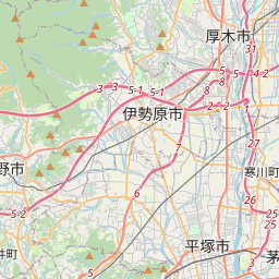
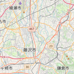
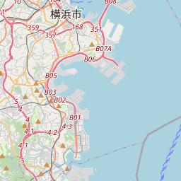
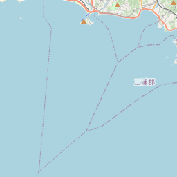
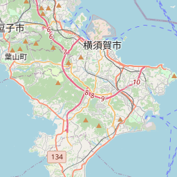
The Kashio River (柏尾川) is a Class B river in Kanagawa Prefecture, Japan, about 50 kilometers southwest of Tokyo. It begins in Kashio, Totsuka-ku, Yokohama at the confluence of the Akuwa River (阿久和川) and the Hiradonagaya River (平戸永谷川) and flows for 11 kilometers to the city of Fujisawa, where it merges with the Sakai River at the confluence known as Kawana (川名).
Nº Q6374340 ★★
Peu commune · Lieux
Kashio River
River in Japan
The Kashio River (柏尾川) is a Class B river in Kanagawa Prefecture, Japan, about 50 kilometers southwest of Tokyo. It begins in Kashio, Totsuka-ku, Yokohama at the confluence of the Akuwa River (阿久和川) and the Hiradonagaya River (平戸永谷川) and flows for 11 kilometers to the city of Fujisawa, where it merges with the Sakai River at the confluence known as Kawana (川名).
Sur la carte
Dernier prix
—
Prix plancher
—
Médiane 7 j
—
Ventes 30 j
0
Fourchette 30 j
—
En circulation
0
Cours
médiane
min – max
ventes
Aucune vente sur la période
Voir le tableau
| Date | médiane | Min | Max | ventes |
|---|
Historique des ventes
- Dernière vente
- —
- Moyenne 30 j
- —
- Plus bas 30 j
- —
- Plus haut 30 j
- —
- Ventes 7 j
- 0
- Ventes 30 j
- 0
Aucune vente pour l'instant.
Ventes anonymes : ni acheteur ni vendeur. Les chiffres ne comptent que les ventes entre joueurs.
Sur Wikipédia
Texte en anglais Pas encore d'article dans ta langue : extrait en anglais.
The Kashio River (柏尾川) is a Class B river in Kanagawa Prefecture, Japan, about 50 kilometers southwest of Tokyo. It begins in Kashio, Totsuka-ku, Yokohama at the confluence of the Akuwa River (阿久和川) and the Hiradonagaya River (平戸永谷川) and flows for 11 kilometers to the city of Fujisawa, where it merges with the Sakai River at the confluence known as Kawana (川名). The conjoined river, which is sometimes known as the Katase River, then flows into Sagami Bay at Enoshima Island. The catchment basin of the Kashio River is approximately 84 sq. kilometers. Because the Kashio River is a short, meandering stream, with a minimal descent, it has long been notorious for flooding. The predecessor of the Kashio River was the shallow Ōfuna Estuary (大船入江), which existed from the end of the last ice age to about 300 BC. Subsequently, earthquakes caused crustal uplift, which cut off the estuary from the bay, making it into a floodplain with the Kashio River at its center. As the river often flooded, it formed a lake that left behind a swamp as it drained. The early lake formed in the floodplain of the Kashio River is probably the lake mentioned in the Enoshima Engi, a history of the area.
Texte : Wikipédia en anglais, CC BY-SA 4.0. · Image : 苗場山 (CC BY-SA 3.0) ·
Cartes voisines

Sakai River (Kanagawa–Tokyo)
River in Tokyo and Kanagawa
Nº Q6375268 ★★★

Sagami-gawa
Rivière du Japon
Nº Q612253 ★★★

Ara-kawa
Fleuvee s'écoulant de la préfecture de Saitama à Tokyo, au Japon
Nº Q625465 ★★★★

Kani River
River in Japan
Nº Q6363045 ★

Sakawa River
River in Japan
Nº Q11644295 ★★★

Kiso-gawa
Rivière du Japon
Nº Q779607 ★★★