Kaubun
District indonésien
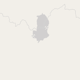
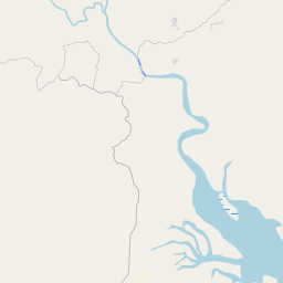
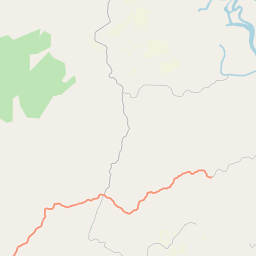
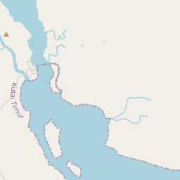
Kaubun is an administrative district (kecamatan) of East Kutai Regency, in East Kalimantan Province of Indonesia. The district lies at the western end of the Mangkalihat Peninsula and includes the western bank of the Karangan River, which empties into Sangkulirang Bay on the east coast of Borneo (Kalimantan).
Nº Q12489892 ★★★
Rare · Lieux
Kaubun
District indonésien
Kaubun is an administrative district (kecamatan) of East Kutai Regency, in East Kalimantan Province of Indonesia. The district lies at the western end of the Mangkalihat Peninsula and includes the western bank of the Karangan River, which empties into Sangkulirang Bay on the east coast of Borneo (Kalimantan).
Sur la carte
Dernier prix
—
Prix plancher
—
Médiane 7 j
—
Ventes 30 j
0
Fourchette 30 j
—
En circulation
0
Cours
médiane
min – max
ventes
Aucune vente sur la période
Voir le tableau
| Date | médiane | Min | Max | ventes |
|---|
Historique des ventes
- Dernière vente
- —
- Moyenne 30 j
- —
- Plus bas 30 j
- —
- Plus haut 30 j
- —
- Ventes 7 j
- 0
- Ventes 30 j
- 0
Aucune vente pour l'instant.
Ventes anonymes : ni acheteur ni vendeur. Les chiffres ne comptent que les ventes entre joueurs.
Sur Wikipédia
Texte en anglais Pas encore d'article dans ta langue : extrait en anglais.
Kaubun is an administrative district (kecamatan) of East Kutai Regency, in East Kalimantan Province of Indonesia. The district lies at the western end of the Mangkalihat Peninsula and includes the western bank of the Karangan River, which empties into Sangkulirang Bay on the east coast of Borneo (Kalimantan). It covers an area of 578.44 km2 and had a population of 9,622 at the 2010 Census and 14,867 at the 2020 Census, while the official estimate as at mid 2024 was 17,893. The district's seat is located in the town of Bumi Etam.
Texte : Wikipédia en anglais, CC BY-SA 4.0. ·


