


Klusenberg
Montagne allemande
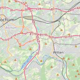
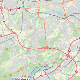
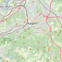
The Klusenberg (German pronunciation: [ˈkluːzn̩bɛʁk]) is, at 254.33 m above NHN, the highest elevation on the territory of the city of Dortmund. The Klusenberg part of the Ardey Hills lies west of the Hohensyburg. To the south its slopes fall away into the Hengsteysee lake.
Nº Q1776635 ★
Commune · Lieux
Klusenberg
Montagne allemande
The Klusenberg (German pronunciation: [ˈkluːzn̩bɛʁk]) is, at 254.33 m above NHN, the highest elevation on the territory of the city of Dortmund. The Klusenberg part of the Ardey Hills lies west of the Hohensyburg. To the south its slopes fall away into the Hengsteysee lake.
Sur la carte
Sur Wikipédia
Texte en anglais Pas encore d'article dans ta langue : extrait en anglais.
The Klusenberg (German pronunciation: [ˈkluːzn̩bɛʁk]) is, at 254.33 m above NHN, the highest elevation on the territory of the city of Dortmund. The Klusenberg part of the Ardey Hills lies west of the Hohensyburg. To the south its slopes fall away into the Hengsteysee lake. The Klusenberg is wooded with just a few residential houses.
Texte : Wikipédia en anglais, CC BY-SA 4.0. · Image : User PodrPro (CC BY-SA 3.0) ·
Cartes voisines
-

Heidehöhe
Montagne allemande
Nº Q258428 ★
Pas en vente
-

Keulenberg
Montagne allemande
Nº Q1265531 ★★
Pas en vente
-

Kulpenberg
Montagne allemande
Nº Q1448454 ★
Pas en vente
-

Teckberg
Montagne allemande
Nº Q538217 ★
Pas en vente
-

Dörenberg
Mountain
Nº Q1271193 ★
Pas en vente
-

Aremberg
Montagne allemande
Nº Q641162 ★
Pas en vente