


Koyva
River in Perm Krai, Russia
The Koyva (Russian: Койва) is a river in Perm Krai in Russia, a right tributary of the Chusovaya (Kama's basin). The river is 180 kilometres (110 mi) long, and its drainage basin covers 2,250 square kilometres (870 sq mi). It starts on the western slope of the Ural Mountains, on the slopes of Mount Bolshaya Khmelikha.
Nº Q2733859 ★
Commune · Lieux
Koyva
River in Perm Krai, Russia
The Koyva (Russian: Койва) is a river in Perm Krai in Russia, a right tributary of the Chusovaya (Kama's basin). The river is 180 kilometres (110 mi) long, and its drainage basin covers 2,250 square kilometres (870 sq mi). It starts on the western slope of the Ural Mountains, on the slopes of Mount Bolshaya Khmelikha.
Sur la carte
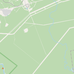
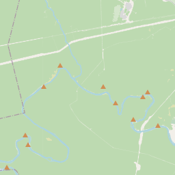
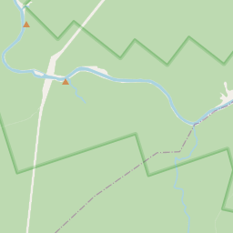
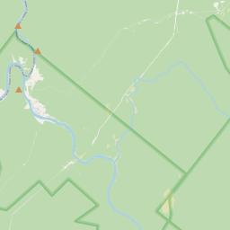
Sur Wikipédia
Texte en anglais Pas encore d'article dans ta langue : extrait en anglais.
The Koyva (Russian: Койва) is a river in Perm Krai in Russia, a right tributary of the Chusovaya (Kama's basin). The river is 180 kilometres (110 mi) long, and its drainage basin covers 2,250 square kilometres (870 sq mi). It starts on the western slope of the Ural Mountains, on the slopes of Mount Bolshaya Khmelikha. Its mouth is near the settlement Ust-Koyva, 66 kilometres (41 mi) from the mouth of the Chusovaya River. It is a mountain river with many rapids and shoals. It was along the Koyva that the first ever diamonds were found in 1829 in Russia. There are urban-type settlement Tyoplaya Gora situated by the river. Main tributaries: Left: Tiskos, Tyrym, Olkhovka; Right: Biser, Kusya.
Texte : Wikipédia en anglais, CC BY-SA 4.0. · Image : Maximovich Nikolay (CC BY 3.0) ·
Cartes voisines
-

Usva (river)
River in Perm Krai, Russia
Nº Q655725 ★★
Pas en vente
-

Kolva
Rivière russe
Nº Q8181 ★★
Pas en vente
-

Yayva (river)
River in Perm Krai, Russia
Nº Q2320653 ★
Pas en vente
-

Kosva
Cours d'eau russe
Nº Q655712 ★
Pas en vente
-

Tchoussovaïa
Cours d'eau russe
Nº Q756091 ★★★★
Pas en vente
-
B
Beryozovaya
River in Perm Krai, Russia, tributary of Kolva
Nº Q1975702 ★
Pas en vente