
Mieming Plateau
Plateau in Austria
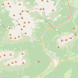
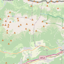
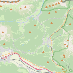
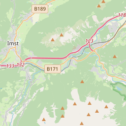
The Mieming Plateau (German: Mieminger Plateau) is a mountain terrace between 850 and 1000 metres high above the Upper Inn valley in the Austrian state of Tyrol at the southern foot of the Mieming Chain. It lies in the municipalities of Wildermieming, Mieming, Obsteig and Mötz.
Nº Q874988 ★★
Peu commune · Lieux
Mieming Plateau
Plateau in Austria
The Mieming Plateau (German: Mieminger Plateau) is a mountain terrace between 850 and 1000 metres high above the Upper Inn valley in the Austrian state of Tyrol at the southern foot of the Mieming Chain. It lies in the municipalities of Wildermieming, Mieming, Obsteig and Mötz.
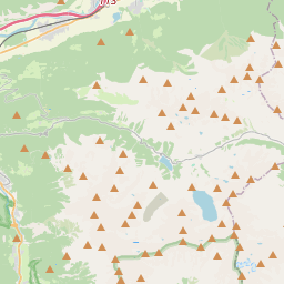
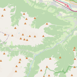
Sur la carte
Dernier prix
—
Prix plancher
—
Médiane 7 j
—
Ventes 30 j
0
Fourchette 30 j
—
En circulation
0
Cours
médiane
min – max
ventes
Aucune vente sur la période
Voir le tableau
| Date | médiane | Min | Max | ventes |
|---|
Historique des ventes
- Dernière vente
- —
- Moyenne 30 j
- —
- Plus bas 30 j
- —
- Plus haut 30 j
- —
- Ventes 7 j
- 0
- Ventes 30 j
- 0
Aucune vente pour l'instant.
Ventes anonymes : ni acheteur ni vendeur. Les chiffres ne comptent que les ventes entre joueurs.
Sur Wikipédia
Texte en anglais Pas encore d'article dans ta langue : extrait en anglais.
The Mieming Plateau (German: Mieminger Plateau) is a mountain terrace between 850 and 1000 metres high above the Upper Inn valley in the Austrian state of Tyrol at the southern foot of the Mieming Chain. It lies in the municipalities of Wildermieming, Mieming, Obsteig and Mötz. The low mountain terrace is composed of ground moraines and gravels, probably from the Würm glaciation. In the south the terrace is bounded by the so-called Achberg range (Achbergzug), a chain of mountains made of main dolomite, the other side of which is the Inn valley. The plateau is about 14 kilometres long and up to 4 kilometres wide. Except near Telfs and Mötz it drops steeply 200 metres down to the Inn valley and ends in the west at the Holzleiten Saddle, where the road continues to the Gurgltal and the Fern Pass section. From Telfs and Mötz there are transit routes that have probably been used since Roman times (Via Claudia Augusta), as evinced by an undated milestone near Holzleiten, that run across the plateau to the Fern Pass and on towards Augsburg. The region is characterised by its small-scale division into fields of pasture and crops that alternate with larch meadows and open forest. A network of walking paths and cycleways, and in winter cross-country skiing routes, criss-crosses the plateau, making it a popular recreation area. The fictitious village of Sonnenstein in the TV series Bergdoktor ("Mountain Doctor") is set on the plateau.
Texte : Wikipédia en anglais, CC BY-SA 4.0. · Image : ChiantiThis file was derived from: Seefeld plateau 01.jpg: (CC BY-SA 3.0) ·
Cartes voisines
-

Chaînon de Mieming
Chaîne de montagnes autrichienne
Nº Q363794 ★★★
Pas en vente
-

Ehrwalder Sonnenspitze
Montagne des Alpes
Nº Q1300944 ★★★
Pas en vente
-

Vorderer Tajakopf
Montagne des Alpes
Nº Q1258587 ★
Pas en vente
-

Hochwildstelle
Mountain of the Schladming Tauern in Styria, Austria
Nº Q1535040 ★★
Pas en vente
-

Nordkette
Groupe de montagnes du Tyrol, en Autriche
Nº Q1664252 ★★★
Pas en vente
-

Wetterstein
Montagne allemande
Nº Q264223 ★★★★
Pas en vente