
montagnes Blanches
Chaîne de montagnes en Californie et au Nevada, aux États-Unis
The White Mountains of California and Nevada are a triangular fault-block mountain range facing the Sierra Nevada across the upper Owens Valley. They extend for approximately 60 mi (97 km) as a greatly elevated plateau about 20 mi (32 km) wide on the south, narrowing to a point at the north, with elevations generally increasing south to north.
Nº Q1433957 ★
Commune · Lieux
montagnes Blanches
Chaîne de montagnes en Californie et au Nevada, aux États-Unis
The White Mountains of California and Nevada are a triangular fault-block mountain range facing the Sierra Nevada across the upper Owens Valley. They extend for approximately 60 mi (97 km) as a greatly elevated plateau about 20 mi (32 km) wide on the south, narrowing to a point at the north, with elevations generally increasing south to north.
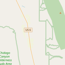
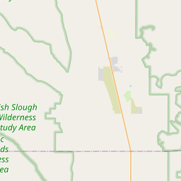
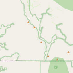
Sur la carte

Dernier prix
—
Prix plancher
—
Médiane 7 j
—
Ventes 30 j
0
Fourchette 30 j
—
En circulation
0
Cours
médiane
min – max
ventes
Aucune vente sur la période
Voir le tableau
| Date | médiane | Min | Max | ventes |
|---|
Historique des ventes
- Dernière vente
- —
- Moyenne 30 j
- —
- Plus bas 30 j
- —
- Plus haut 30 j
- —
- Ventes 7 j
- 0
- Ventes 30 j
- 0
Aucune vente pour l'instant.
Ventes anonymes : ni acheteur ni vendeur. Les chiffres ne comptent que les ventes entre joueurs.
Sur Wikipédia
Texte en anglais Pas encore d'article dans ta langue : extrait en anglais.
The White Mountains of California and Nevada are a triangular fault-block mountain range facing the Sierra Nevada across the upper Owens Valley. They extend for approximately 60 mi (97 km) as a greatly elevated plateau about 20 mi (32 km) wide on the south, narrowing to a point at the north, with elevations generally increasing south to north. The range's broad southern end is near the community of Big Pine, where Westgard Pass and Deep Springs Valley separate it from the Inyo Mountains. The narrow northern end is at Montgomery Pass, where U.S. Route 6 crosses. The Fish Lake Valley lies east of the range; the southeast part of the mountains are separated from the Silver Peak Range by block faulting across the Furnace Creek Fault Zone, forming a feeder valley to Fish Lake Valley. The range lies within the eastern section of the Inyo National Forest.
Texte : Wikipédia en anglais, CC BY-SA 4.0. · Image : JonathanLamb (talk · contribs) (CC BY 3.0) ·
Cartes voisines

Pic White Mountain
Montagne de la Californie, aux États-Unis
Nº Q4468440 ★

Sierra Nevada (États-Unis)
Chaîne de montagnes élevées à l'Est de la Californie
Nº Q26777 ★★★

Vallée de l'Owens
Vallée de Californie
Nº Q2042674 ★★

Monts San Gabriel
Montagne américaine
Nº Q1419854 ★★

Col Cajon
Nº Q1886676 ★★

Chaîne Côtière
Chaîne de montagne de l'ouest de l'Amérique du Nord
Nº Q920070 ★★