
Mount San Antonio
Montagne de la Californie, aux États-Unis
Mount San Antonio, commonly referred to as Mount Baldy or Old Baldy, is a 10,064 ft (3,068 m) summit in the San Gabriel Mountains on the border of Los Angeles and San Bernardino counties of California. Lying within the San Gabriel Mountains National Monument and Angeles National Forest, it is the highest point within the mountain range, the County of Los Angeles, and the Los Angeles metropolitan area.
Nº Q128657 ★★
Peu commune · Lieux
Mount San Antonio
Montagne de la Californie, aux États-Unis
Mount San Antonio, commonly referred to as Mount Baldy or Old Baldy, is a 10,064 ft (3,068 m) summit in the San Gabriel Mountains on the border of Los Angeles and San Bernardino counties of California. Lying within the San Gabriel Mountains National Monument and Angeles National Forest, it is the highest point within the mountain range, the County of Los Angeles, and the Los Angeles metropolitan area.
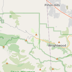
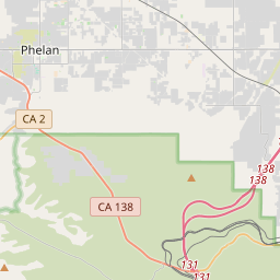
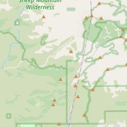
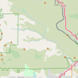
Sur la carte
Dernier prix
—
Prix plancher
—
Médiane 7 j
—
Ventes 30 j
0
Fourchette 30 j
—
En circulation
0
Cours
médiane
min – max
ventes
Aucune vente sur la période
Voir le tableau
| Date | médiane | Min | Max | ventes |
|---|
Historique des ventes
- Dernière vente
- —
- Moyenne 30 j
- —
- Plus bas 30 j
- —
- Plus haut 30 j
- —
- Ventes 7 j
- 0
- Ventes 30 j
- 0
Aucune vente pour l'instant.
Ventes anonymes : ni acheteur ni vendeur. Les chiffres ne comptent que les ventes entre joueurs.
Sur Wikipédia
Texte en anglais Pas encore d'article dans ta langue : extrait en anglais.
Mount San Antonio, commonly referred to as Mount Baldy or Old Baldy, is a 10,064 ft (3,068 m) summit in the San Gabriel Mountains on the border of Los Angeles and San Bernardino counties of California. Lying within the San Gabriel Mountains National Monument and Angeles National Forest, it is the highest point within the mountain range, the County of Los Angeles, and the Los Angeles metropolitan area. Mount San Antonio's sometimes snow-capped peaks are visible on clear days and dominate the view of the Los Angeles Basin skyline. The peak and a subsidiary one to the west form a double summit of a steep-sided east–west ridge. The summit is accessible via a number of connecting ridges along hiking trails from the north, east, south, and southwest.
Texte : Wikipédia en anglais, CC BY-SA 4.0. · Image : The original uploader was Tillman at English Wikipedia. (CC BY-SA 2.0) ·
Cartes voisines

Monts San Gabriel
Montagne américaine
Nº Q1419854 ★★

El Monte
Ville américaine en Californie
Nº Q595550 ★★

Mount Baldy
Établissement humain, comté de San Bernardino, Californie, États-Unis
Nº Q6919579 ★

Mont Diablo
Montagne de la Californie, aux États-Unis
Nº Q13359059 ★★

Mont Whitney
Montagne de la Californie, aux États-Unis
Nº Q235539 ★★★★

Forêt nationale d'Angeles
Espace naturel protégé américain
Nº Q3079095 ★★