Nirayama
Établissement humain au Japon
Nirayama (韮山町, Nirayama-chō) was a town located in Tagata District, Shizuoka Prefecture, Japan. As of March 1, 2005, the town had an estimated population of 19,602 and a density of 566 persons per km2. The total area was 34.63 km2.
Nº Q7039915 ★★
Peu commune · Lieux
Nirayama
Établissement humain au Japon
Nirayama (韮山町, Nirayama-chō) was a town located in Tagata District, Shizuoka Prefecture, Japan. As of March 1, 2005, the town had an estimated population of 19,602 and a density of 566 persons per km2. The total area was 34.63 km2.
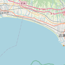
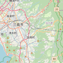
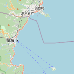
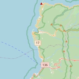
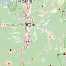
Sur la carte

Dernier prix
—
Prix plancher
—
Médiane 7 j
—
Ventes 30 j
0
Fourchette 30 j
—
En circulation
0
Cours
médiane
min – max
ventes
Aucune vente sur la période
Voir le tableau
| Date | médiane | Min | Max | ventes |
|---|
Historique des ventes
- Dernière vente
- —
- Moyenne 30 j
- —
- Plus bas 30 j
- —
- Plus haut 30 j
- —
- Ventes 7 j
- 0
- Ventes 30 j
- 0
Aucune vente pour l'instant.
Ventes anonymes : ni acheteur ni vendeur. Les chiffres ne comptent que les ventes entre joueurs.
Sur Wikipédia
Texte en anglais Pas encore d'article dans ta langue : extrait en anglais.
Nirayama (韮山町, Nirayama-chō) was a town located in Tagata District, Shizuoka Prefecture, Japan. As of March 1, 2005, the town had an estimated population of 19,602 and a density of 566 persons per km2. The total area was 34.63 km2. On April 1, 2005, Nirayama, along with the towns of Izunagaoka and Ōhito (all from Tagata District), was merged to create the city of Izunokuni and thus it no longer exists as an independent municipality. During the Kamakura and Muromachi period, Niirayama was the site of a castle belonging to the Hōjō clan, and the later Hōjō clan. During the Edo period, it was the location of the daikansho offices of the Tokugawa shogunate controlling Izu Province. Known for its strawberry crop, Nirayama sees many visitors from bigger cities (such as Tokyo) coming for seasonal picking and the views of Mount Fuji.
Texte : Wikipédia en anglais, CC BY-SA 4.0. ·
Cartes voisines
-
I
Iwata District, Shizuoka
Former district in Shizuoka prefecture, Japan
Nº Q6100753 ★★
Pas en vente
-
N
Nishiyama
Établissement humain au Japon
Nº Q7040758 ★
Pas en vente
-

Mishima
Établissement humain au Japon
Nº Q6875535 ★
Pas en vente
-
Y
Yutaka
Établissement humain au Japon
Nº Q8062064 ★
Pas en vente
-

Misakubo
Établissement humain au Japon
Nº Q6875101 ★★
Pas en vente
-
Nakanoshima
Établissement humain au Japon
Nº Q6960284 ★
Pas en vente