

Commune · Lieux
Osterwald (hills)
Mountain range
The Osterwald is a ridge (up to 419.2 m above sea level (NN)) in the Calenberg Uplands and together with the Nesselberg and the Kleiner Deister forms a unified group of three adjacent ranges in the Leine Uplands. It lies between Coppenbrügge, Eldagsen and Elze in the North German state of Lower Saxony.
Sur la carte
Sur Wikipédia
Texte en anglais Pas encore d'article dans ta langue : extrait en anglais.
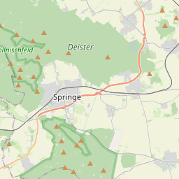
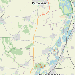
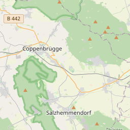
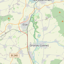
The Osterwald is a ridge (up to 419.2 m above sea level (NN)) in the Calenberg Uplands and together with the Nesselberg and the Kleiner Deister forms a unified group of three adjacent ranges in the Leine Uplands. It lies between Coppenbrügge, Eldagsen and Elze in the North German state of Lower Saxony. The Osterwald is located in the Calenberg Uplands north of the Leine Uplands that border on the Calenberg Land there. It lies about halfway between Hamelin in the west and Hildesheim in the east and between the villages of Coppenbrügge in the southwest and Eldagsen in the north and Elze in the east. In terms of natural regions it belongs to the Lower Saxon Hills and borders on the Calenberg Loess Börde in the north and east. The districts of Hildesheim and Hameln-Pyrmont and the region of Hanover meet near the Triangular Rock (Dreieckiger Stein) not far from the Shepherd's Hut (Sennhütte). On the southern rim of the Osterwald is the eponymous village of Osterwald in the municipality of Salzhemmendorf. The Osterwald spreads southeast of the valley of the Gehlenbach and Gelbbach streams, through which the state road (the Landesstraße 422) runs from Coppenbrügge in the southwest to Eldagsen. Immediately north-northwest of this valley is the hill of Nesselberg. On the other, southern, side of Coppenbrügge is the knife-edge ridge of the Ith.
Texte : Wikipédia en anglais, CC BY-SA 4.0. · Image : Langläufer (CC BY-SA 3.0) ·