Zitter Forest
Forest
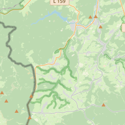
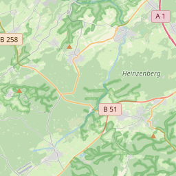
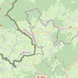
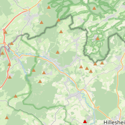
The Zitter Forest (German: Zitterwald) is located in the Eifel region in the German district of Euskirchen (North Rhine-Westphalia) and in the Belgian province of Liège (Wallonia). Its highest point is 692 m above sea level (NN).
Nº Q206700 ★★
Peu commune · Lieux
Zitter Forest
Forest
The Zitter Forest (German: Zitterwald) is located in the Eifel region in the German district of Euskirchen (North Rhine-Westphalia) and in the Belgian province of Liège (Wallonia). Its highest point is 692 m above sea level (NN).
Sur la carte
Dernier prix
—
Prix plancher
—
Médiane 7 j
—
Ventes 30 j
0
Fourchette 30 j
—
En circulation
0
Cours
médiane
min – max
ventes
Aucune vente sur la période
Voir le tableau
| Date | médiane | Min | Max | ventes |
|---|
Historique des ventes
- Dernière vente
- —
- Moyenne 30 j
- —
- Plus bas 30 j
- —
- Plus haut 30 j
- —
- Ventes 7 j
- 0
- Ventes 30 j
- 0
Aucune vente pour l'instant.
Ventes anonymes : ni acheteur ni vendeur. Les chiffres ne comptent que les ventes entre joueurs.
Sur Wikipédia
Texte en anglais Pas encore d'article dans ta langue : extrait en anglais.
The Zitter Forest (German: Zitterwald) is located in the Eifel region in the German district of Euskirchen (North Rhine-Westphalia) and in the Belgian province of Liège (Wallonia). Its highest point is 692 m above sea level (NN). The Zitter Forest lies in the North Eifel between Hellenthal (north), Dahlem (east), Kronenburg (south) and the Belgian village of Büllingen (west). The Zitter Forest is part of the Hohes Venn – Eifel Nature Park. To the north the Eifel National Park borders on the Zitter Forest; to the south the river Kyll is the border with the Schnee Eifel. In the thinly populated and predominantly wooded uplands of the Zitter Forest between 500 and 692 m above sea level (NN) lie the sources of the Olef, Urft and Kyll. Its highest elevation is on the Weißer Stein (692 m; with ski slopes) southwest of Udenbreth; amongst the other hills within the Zitter Forest are the Bärbelkreuz (662.8 m), Hühnerhöhe (659.9 m), Kamberg (637.8 m). The Hellenthal villages and settlements — like Giescheid, Miescheid, Neuhaus, Ramscheid and Udenbreth — in the northern part of the Zitter Forest belong to the highest parishes in the Rhineland. The Zitter Forest is one of the last habitats of the wildcat in Germany. The Eifel-Bärbelkreuz transmission tower (Sendeturm Eifel-Bärbelkreuz) is within the Zitter Forest.
Texte : Wikipédia en anglais, CC BY-SA 4.0. ·
Cartes voisines
-

Parc naturel des Hautes Fagnes–Eifel
Aire protégée d'Allemagne et de Belgique
Nº Q317524 ★★★★
Pas en vente
-
N
North Eifel
Northern part of the Eifel in North Rhine-Westphalia, Germany
Nº Q1997843 ★★
Pas en vente
-

Hochwald
Montagne allemande
Nº Q453198 ★★
Pas en vente
-

Schnee Eifel
Landscape
Nº Q896245 ★
Pas en vente
-

Extertal
Commune allemande
Nº Q242514 ★★★
Pas en vente
-
V
Vallée du Zeller
Nº Q189019 ★
Pas en vente