

Comum · Lugares
A40 road
Road in Great Britain, connecting London to Wales
The A40 is a road which runs between London and Goodwick (Fishguard), in Wales. It is approximately 260 miles (420 km) long.
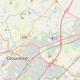
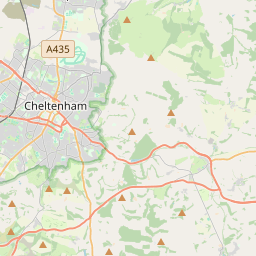
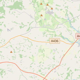
No mapa
Na Wikipédia
Texto em inglês Ainda não há artigo no seu idioma: trecho em inglês.
The A40 is a road which runs between London and Goodwick (Fishguard), in Wales. It is approximately 260 miles (420 km) long. The eastern section from Denham, Buckinghamshire to Wheatley, Oxfordshire is better served by the M40 and its former function of linking London with Cheltenham and Gloucester has been taken by the M4, A419 and A417 via Swindon. In 1937, together with the A48 road, it formed parts of the London–Fishguard trunk road, as well as a part of the Newport–Shrewsbury trunk road. Much of the A40's length within England has been superseded by motorways, such as the M40, and has lost its trunk road status, though it retains the status west of Gloucester and its entirety within Wales.
Texto: Wikipédia em inglês, CC BY-SA 4.0. · Imagem: Farmer & Brindley (CC BY-SA 2.0) ·


