
Ang Mo Kio
Planning area and residential town in North-East Region, Singapore
Ang Mo Kio () is a planning area and residential town situated in the North-East Region of Singapore. Located approximately 11 km (6.8 miles) north of the Downtown Core district, Ang Mo Kio is the 4th most populated planning area in the North-East region and ranks 11th in terms of population in the country overall.
Nº Q4761845 ★★
Incomum · Lugares
Ang Mo Kio
Planning area and residential town in North-East Region, Singapore
Ang Mo Kio () is a planning area and residential town situated in the North-East Region of Singapore. Located approximately 11 km (6.8 miles) north of the Downtown Core district, Ang Mo Kio is the 4th most populated planning area in the North-East region and ranks 11th in terms of population in the country overall.
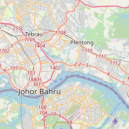
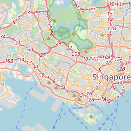
No mapa
Último preço
—
Preço mínimo
—
Mediana 7 d
—
Vendas 30 d
0
Faixa 30 d
—
Em circulação
0
Cotação
mediana
mín – máx
vendas
Sem vendas no período
Ver tabela
| Data | mediana | Mín | Máx | vendas |
|---|
Histórico de vendas
- Última venda
- —
- Média 30 d
- —
- Mínima 30 d
- —
- Máxima 30 d
- —
- Vendas 7 d
- 0
- Vendas 30 d
- 0
Ainda sem vendas.
Vendas anônimas: sem comprador nem vendedor. Os números contam só vendas entre jogadores.
Na Wikipédia
Texto em inglês Ainda não há artigo no seu idioma: trecho em inglês.
Ang Mo Kio () is a planning area and residential town situated in the North-East Region of Singapore. Located approximately 11 km (6.8 miles) north of the Downtown Core district, Ang Mo Kio is the 4th most populated planning area in the North-East region and ranks 11th in terms of population in the country overall. The planning area is located at the south-western corner of the North-East region, bordered by the planning areas of Yishun to the north, Sengkang to the north-east, Serangoon to the east, Bishan to the south and the Central Water Catchment to the west. Prior to urbanization, the area, much like other rural districts in Singapore at the time, was largely undeveloped, being mainly used for agricultural purposes, with uninhabited plots of land usually covered in dense secondary forest or swamps. Ang Mo Kio was subsequently redeveloped by the Housing and Development Board (HDB) in 1973 as their seventh satellite town and the first to be built in metric dimensions, being fully completed by 1980. The first three town councils in the country were established in Ang Mo Kio in 1986, as part of a pilot project to better serve residents of HDB new towns. The concept eventually became adopted under the Town Council Act of 1988 which today, remains as the second-level of administration in Singapore. Ang Mo Kio today, much like its neighbouring towns, is largely urbanized. However, parks are still prevalent in the town as part of the country's green initiative. Parks include Ang Mo Kio Town Garden East and Ang Mo Kio Town Garden West. The Bishan–Ang Mo Kio Park, located in the adjacent planning area of Bishan, serves residents of both planning areas. The park itself straddles along the Ang Mo Kio–Bishan boundary, making it easily accessible from Ang Mo Kio.
Texto: Wikipédia em inglês, CC BY-SA 4.0. · Imagem: Kumster. (Public domain) ·
Cartas próximas
Sengkang
Planning area in North-East Region, Singapore
Nº Q10861365 ★

Toa Payoh
Nº Q2734905 ★

Regions of Singapore
Planning region of Singapore
Nº Q2091262 ★★

Choa Chu Kang
Residential town, west of Singapore
Nº Q1069101 ★
Bedok
Planning area and residential town in East Region of Singapore
Nº Q4879339 ★

Área Central de Singapura
Nº Q3306197 ★★