

Incomum · Lugares
Arabkir District
Place in Yerevan, Armenia
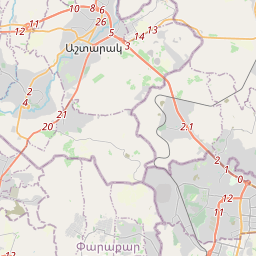
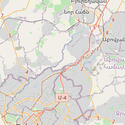
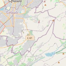
Arabkir (Armenian: Արաբկիր վարչական շրջան, romanized: Arabkir varch’akan shrjan), is one of the 12 districts of Yerevan, the capital of Armenia. Located to the north of the city centre, Arabkir is bordered by the Davtashen District from the northwest, Ajapnyak District from the west, Kentron District from the south, and Kanaker-Zeytun District from the east.
No mapa

Na Wikipédia
Texto em inglês Ainda não há artigo no teu idioma: trecho em inglês.
Arabkir (Armenian: Արաբկիր վարչական շրջան, romanized: Arabkir varch’akan shrjan), is one of the 12 districts of Yerevan, the capital of Armenia. Located to the north of the city centre, Arabkir is bordered by the Davtashen District from the northwest, Ajapnyak District from the west, Kentron District from the south, and Kanaker-Zeytun District from the east. Hrazdan River forms the natural border of the district from the north and the west. At the north, Arabkir has common borders with the community of Kanakeravan of Kotayk Province. With an area of 12 km (5.38% of Yerevan city area), Arabkir is the 8th-largest district of Yerevan in terms of area. It is unofficially divided into smaller neighborhoods such as Nor Arabkir, Mergelyan, Aygedzor, Kanaker Hydropower Plant and Raykom. Arabkir's main thoroughfare is the Komitas Avenue, while the streets of Kievyan, N. Zarian, Hrachya Kochar, Mamikonian, Al. Griboyedov, A. Khachaturian, V. Vagharshyan, V. Papazian, and N. Adontz are among the notable ones. The two main squares of the district are Barekamutyun and Mher Mkrtchyan. Arabkir is separated from Kanaker-Zeytun by the Liberty Avenue (Armenian: Ազատության Պողոտա) and Tbilisi Highway.
Texto: Wikipédia em inglês, CC BY-SA 4.0. · Imagem: Սէրուժ Ուրիշեան (Serouj Ourishian) (CC BY-SA 3.0) ·