

Incomum · Lugares
Bakalinsky District
Municipal district in Russia
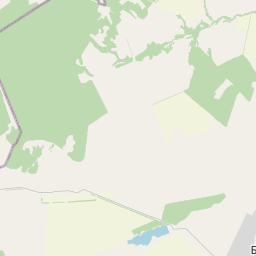
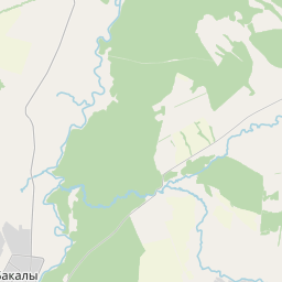
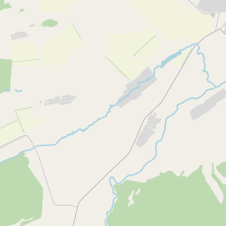
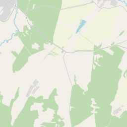
Bakalinsky District (Russian: Бакали́нский райо́н; Bashkir: Баҡалы районы, Baqalı rayonı; Tatar: Бакалы районы, Baqalı rayonı) is an administrative and municipal district (raion), one of the fifty-four in the Republic of Bashkortostan, Russia. It is located in the west of the republic and borders with Ilishevsky District in the northeast, Chekmagushevsky District in the east, Sharansky District in the south, and with the Republic of Tatarstan in the west and northwest.
No mapa
Na Wikipédia
Texto em inglês Ainda não há artigo no teu idioma: trecho em inglês.
Bakalinsky District (Russian: Бакали́нский райо́н; Bashkir: Баҡалы районы, Baqalı rayonı; Tatar: Бакалы районы, Baqalı rayonı) is an administrative and municipal district (raion), one of the fifty-four in the Republic of Bashkortostan, Russia. It is located in the west of the republic and borders with Ilishevsky District in the northeast, Chekmagushevsky District in the east, Sharansky District in the south, and with the Republic of Tatarstan in the west and northwest. The area of the district is 1,951 square kilometers (753 sq mi). Its administrative center is the rural locality (a selo) of Bakaly. As of the 2010 Census, the total population of the district was 28,776, with the population of Bakaly accounting for 33.3% of that number. The district is located around the Bugulminskoye-Belebey Mountains sloping gently to the north in the valley of the Belaya River. The climate is continental with moderate humidity. In the elevated part of the watershed it is characterized by mixed deciduous forests, with oak, birch, and aspen. Forests cover 44% of the area and there are several oil fields, such as Mustafinskoye and Katayevskoye. The district was established on August 20, 1930.
Texto: Wikipédia em inglês, CC BY-SA 4.0. · Imagem: Aleksandr_Mullin (CC BY 3.0) ·