
Birbhum district
District in West Bengal, India
Birbhum district (Bengali pronunciation: [biːrbʰuːm]) is an administrative unit in the Indian state of West Bengal. It is the northernmost district of Burdwan division—one of the five administrative divisions of West Bengal. The district headquarters is in Suri.
Nº Q2088440 ★★
Incomum · Lugares
Birbhum district
District in West Bengal, India
Birbhum district (Bengali pronunciation: [biːrbʰuːm]) is an administrative unit in the Indian state of West Bengal. It is the northernmost district of Burdwan division—one of the five administrative divisions of West Bengal. The district headquarters is in Suri.
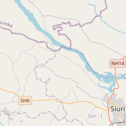
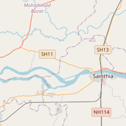
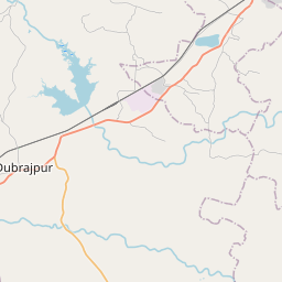
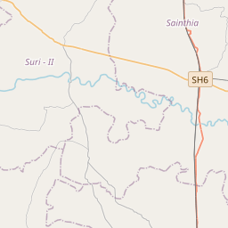
No mapa
Último preço
—
Preço mínimo
—
Mediana 7 d
—
Vendas 30 d
0
Faixa 30 d
—
Em circulação
0
Cotação
mediana
mín – máx
vendas
Sem vendas no período
Ver tabela
| Data | mediana | Mín | Máx | vendas |
|---|
Histórico de vendas
- Última venda
- —
- Média 30 d
- —
- Mínima 30 d
- —
- Máxima 30 d
- —
- Vendas 7 d
- 0
- Vendas 30 d
- 0
Ainda sem vendas.
Vendas anônimas: sem comprador nem vendedor. Os números contam só vendas entre jogadores.
Na Wikipédia
Texto em inglês Ainda não há artigo no seu idioma: trecho em inglês.
Birbhum district (Bengali pronunciation: [biːrbʰuːm]) is an administrative unit in the Indian state of West Bengal. It is the northernmost district of Burdwan division—one of the five administrative divisions of West Bengal. The district headquarters is in Suri. Other important cities are Rampurhat, Bolpur and Sainthia. Jamtara, Dumka and Pakur districts of the state of Jharkhand lie at the western border of this district; the border in other directions is covered by the districts of Bardhaman of Purba Bardhaman, Paschim Bardhaman and Murshidabad of West Bengal. Often called "the land of red soil", Birbhum is noted for its topography and its cultural heritage which is somewhat different from the other districts in West Bengal. The western part of Birbhum is a bushy region, a part of the Chota Nagpur Plateau. This region gradually merges with the fertile alluvial farmlands in the east. This district saw many cultural and religious movements in history. Tarapith is a Hindu pilgrimage site located at 9km distance from Rampurhat city, which is one of the prominent places in Birbhum where every day a large number of pilgrims from across the country, neighboring states, and even abroad gather.This town is particularly known for the Tarapith Temple and its adjoining Hindu crematory ground. The Visva Bharati University at Santiniketan, established by Rabindranath Tagore, is one of the places Birbhum is known for. Many festivals are celebrated in the district, including Poush Mela. Birbhum is primarily an agricultural district with around 75.09% of the population being dependent on agriculture. Principal industries of the district include cotton and silk harvesting and weaving, rice and oilseed milling, lac harvesting, stone mining and metalware and pottery manufacture. Bakreshwar Thermal Power Station is the only heavy industry in the district.
Texto: Wikipédia em inglês, CC BY-SA 4.0. · Imagem: Tarunsamanta (CC BY-SA 4.0) ·
Cartas próximas
Rampurhat Assembly constituency
West Bengal Legislative Assembly constituency
Nº Q15271679 ★★

Purba Medinipur district
District in West Bengal, India
Nº Q1431920 ★

Purulia district
District in West Bengal, India
Nº Q307474 ★★

Murshidabad district
District in West Bengal, India
Nº Q1546240 ★★

Berhampore
City in West Bengal, India
Nº Q633530 ★★

Gorkhaland Territorial Administration
Autonomous administrative body in West Bengal, India
Nº Q3346466 ★