

Comum · Lugares
Bukit Merah
Planning area and HDB town in Central Region, Singapore
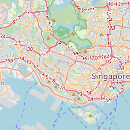
Bukit Merah, also known as Redhill, is a planning area and new town situated in the southernmost part of the Central Region of Singapore. The planning area borders Tanglin to the north, Queenstown to the west, and the Downtown Core, Outram and Singapore River planning areas of the Central Area to the east.
No mapa
Na Wikipédia
Texto em inglês Ainda não há artigo no seu idioma: trecho em inglês.
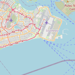
Bukit Merah, also known as Redhill, is a planning area and new town situated in the southernmost part of the Central Region of Singapore. The planning area borders Tanglin to the north, Queenstown to the west, and the Downtown Core, Outram and Singapore River planning areas of the Central Area to the east. It also shares a maritime boundary with the Southern Islands planning area to the south. Bukit Merah is linked to Sentosa Island via Sentosa Gateway, Sentosa Broadwalk, Sentosa Express, and the Cable Car. Bukit Merah planning area also includes two offshore islands which are linked to the mainland by road, namely Pulau Brani and Keppel Island. It is the most populous planning area in the Central Region and the 12th most populous in the country, with more than 150,000 residents.
Texto: Wikipédia em inglês, CC BY-SA 4.0. · Imagem: Hajotthu (CC BY 3.0) ·
Cartas próximas
-
 ★
★
Queenstown (Singapura)
-
 ★
★
Bukit Timah
Hill in Singapore
-
 ★
★
Little red dot
Nickname used in reference to Singapore
-
 ★
★
Bukit Timah
Planning area and residential estate in Central Region, Singapore
-
 ★★★★★★
Singapura
Cidade-estado no Sudeste Asiático marítimo
-
 ★
★
Red Dot United
Opposition political party in Singapore