

Comum · Lugares
Bum La Pass
Border pass between Arunachal Pradesh and Tibet
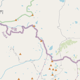
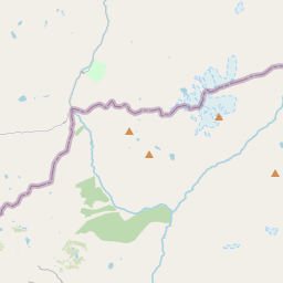
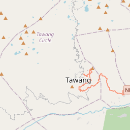
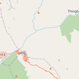
The Bum La Pass (Tibetan: བུམ་ལ་) is a border pass between China's Tsona County in Tibet and India's Tawang district in Arunachal Pradesh. It is 37 km away from the town of Tawang in India's Tawang district and 43 km from the town of Tsona Dzong in China's Tsona County.
No mapa
Na Wikipédia
Texto em inglês Ainda não há artigo no teu idioma: trecho em inglês.
The Bum La Pass (Tibetan: བུམ་ལ་) is a border pass between China's Tsona County in Tibet and India's Tawang district in Arunachal Pradesh. It is 37 km away from the town of Tawang in India's Tawang district and 43 km from the town of Tsona Dzong in China's Tsona County. The pass currently serves as a trading point between Arunachal Pradesh and Tibet. It is also an agreed Border Personnel Meeting Point for the security forces of China and India. An old traders road went from Tawang via Milakatong La Pass ("La" in the Tibetan Language means "pass") to Bum La Pass and finally to Tsona Dzong in Tibet. The road to Bum La is also a historical route, the People's Liberation Army of China invaded India during the 1962 Sino-Indian War. Here in Bum La Pass one of the fiercest battles, the Battle of Bum La Pass, took place in the 1962 Sino-Indian War. In 2006, Bumla pass was re-opened to traders for the first time in 44 years. Traders from both sides of the pass were permitted to enter each other's territories, in addition to postal workers from each country. It is often covered with heavy snow throughout the year.
Texto: Wikipédia em inglês, CC BY-SA 4.0. · Imagem: Itrajib (CC BY-SA 4.0) ·