Buser al-Harir
Village in Syria
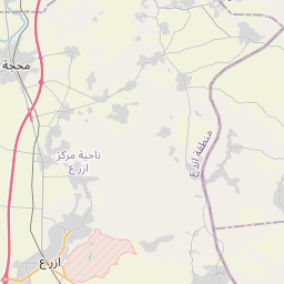
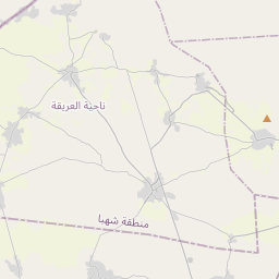
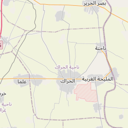
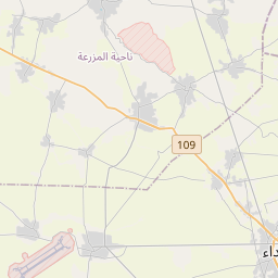
Buser al-Harir (Arabic: بصّر الحرير, Buṣr al-Ḥarīr, also spelled Busra al-Harir, Basr al-Harir, Busra Hariri) is a town in southern Syria, part of the Daraa Governorate situated in the Hauran plain. It is located northeast of Daraa and northwest of Suwayda.
Nº Q4118567 ★★
Incomum · Lugares
Buser al-Harir
Village in Syria
Buser al-Harir (Arabic: بصّر الحرير, Buṣr al-Ḥarīr, also spelled Busra al-Harir, Basr al-Harir, Busra Hariri) is a town in southern Syria, part of the Daraa Governorate situated in the Hauran plain. It is located northeast of Daraa and northwest of Suwayda.
No mapa
Último preço
—
Preço mínimo
—
Mediana 7 d
—
Vendas 30 d
0
Faixa 30 d
—
Em circulação
0
Cotação
mediana
mín – máx
vendas
Sem vendas no período
Ver tabela
| Data | mediana | Mín | Máx | vendas |
|---|
Histórico de vendas
- Última venda
- —
- Média 30 d
- —
- Mínima 30 d
- —
- Máxima 30 d
- —
- Vendas 7 d
- 0
- Vendas 30 d
- 0
Ainda sem vendas.
Vendas anônimas: sem comprador nem vendedor. Os números contam só vendas entre jogadores.
Na Wikipédia
Texto em inglês Ainda não há artigo no seu idioma: trecho em inglês.
Buser al-Harir (Arabic: بصّر الحرير, Buṣr al-Ḥarīr, also spelled Busra al-Harir, Basr al-Harir, Busra Hariri) is a town in southern Syria, part of the Daraa Governorate situated in the Hauran plain. It is located northeast of Daraa and northwest of Suwayda. Nearby localities include Mlaihat al-Atash to the southwest, ash-Shaykh Miskin to the west, Izraa to the northwest, Harran to the northeast, Najran to the east, al-Mazraa to the southeast and Nahtah to the south. According to the Syria Central Bureau of Statistics (CBS), Buser al-Harir had a population of 13,315 in the 2004 census. Its inhabitants are predominantly Sunni Muslims.
Texto: Wikipédia em inglês, CC BY-SA 4.0. ·


