

Comum · Lugares
Buttermere
Lake in the United Kingdom
Buttermere is a lake in the Lake District in North West England. It has an area of 0.9 square kilometres (0.35 sq mi), a length of approximately 2 kilometres (1.2 mi), a maximum width of 0.54 kilometres (0.34 mi), a maximum depth of 28.6 metres (94 ft), and a surface elevation of 100.3 metres (329 ft) above sea level.
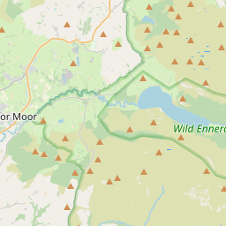
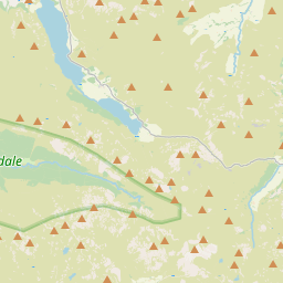
No mapa
Na Wikipédia
Texto em inglês Ainda não há artigo no seu idioma: trecho em inglês.
Buttermere is a lake in the Lake District in North West England. It has an area of 0.9 square kilometres (0.35 sq mi), a length of approximately 2 kilometres (1.2 mi), a maximum width of 0.54 kilometres (0.34 mi), a maximum depth of 28.6 metres (94 ft), and a surface elevation of 100.3 metres (329 ft) above sea level. Its primary outflow is Buttermere Dubs, a short stream which connects the lake to Crummock Water. From Crummock Water the River Cocker flows to Cockermouth, where it joins the River Derwent and finally enters the Irish Sea at Workington. The lake is in the unitary authority of Cumberland, and the ceremonial county of Cumbria.
Texto: Wikipédia em inglês, CC BY-SA 4.0. · Imagem: Wikimedia Commons (Public domain) ·


