
Cape Flattery
Cape in Clallam County, Washington, United States of America
Cape Flattery (48°23′09″N 124°43′37″W) is the northwesternmost point of the contiguous United States. It is in Clallam County, Washington, on the Olympic Peninsula, where the Strait of Juan de Fuca joins the Pacific Ocean.
Nº Q1034424 ★★
Incomum · Lugares
Cape Flattery
Cape in Clallam County, Washington, United States of America
Cape Flattery (48°23′09″N 124°43′37″W) is the northwesternmost point of the contiguous United States. It is in Clallam County, Washington, on the Olympic Peninsula, where the Strait of Juan de Fuca joins the Pacific Ocean.
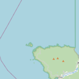
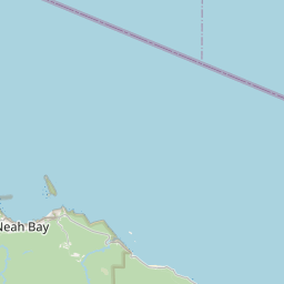
No mapa

Último preço
—
Preço mínimo
—
Mediana 7 d
—
Vendas 30 d
0
Faixa 30 d
—
Em circulação
0
Cotação
mediana
mín – máx
vendas
Sem vendas no período
Ver tabela
| Data | mediana | Mín | Máx | vendas |
|---|
Histórico de vendas
- Última venda
- —
- Média 30 d
- —
- Mínima 30 d
- —
- Máxima 30 d
- —
- Vendas 7 d
- 0
- Vendas 30 d
- 0
Ainda sem vendas.
Vendas anônimas: sem comprador nem vendedor. Os números contam só vendas entre jogadores.
Na Wikipédia
Texto em inglês Ainda não há artigo no seu idioma: trecho em inglês.
Cape Flattery (48°23′09″N 124°43′37″W) is the northwesternmost point of the contiguous United States. It is in Clallam County, Washington, on the Olympic Peninsula, where the Strait of Juan de Fuca joins the Pacific Ocean. It is also part of the Makah Reservation, and is the northern boundary of the Olympic Coast National Marine Sanctuary. Cape Flattery can be reached from a short hike, most of which is boardwalked. The westernmost point in the contiguous United States is at Cape Alava, south of Cape Flattery in Olympic National Park. However, the westernmost tip of Cape Flattery is almost exactly as far west as Cape Alava, the difference being approximately 5 seconds of longitude, about 360 feet (110 m), at high tide and somewhat more at low tide. The Cape Flattery Lighthouse is on Tatoosh Island, just off the cape. Makah Bay and Neah Bay are on either side of the cape. Neah Bay, Washington is the closest town to the cape.
Texto: Wikipédia em inglês, CC BY-SA 4.0. · Imagem: National Oceanic and Atmospheric Administraion (Public domain) ·
Cartas próximas

Península Olympic
Nº Q780293 ★★

Olympic Coast National Marine Sanctuary
Marine protected area in Washington state, USA
Nº Q936014 ★★

Cabo Ann
Cabo em Massachusetts
Nº Q1034267 ★★

El Capitan
Nº Q1124852 ★★★★

Cabo de Cà Mau
Nº Q1394226 ★★★★★

Olympic Mountains
Mountain range in Washington State, United States
Nº Q255079 ★★