
Cheviot Hills
Upland between England and Scotland
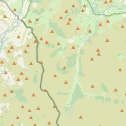
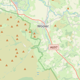
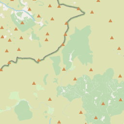
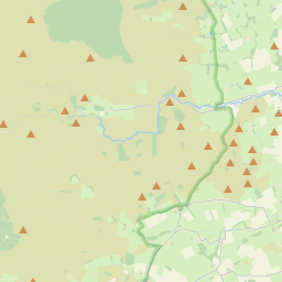
The Cheviot Hills ( CHEE-vee-ət), or sometimes The Cheviots, are a range of uplands straddling the Anglo-Scottish border between Northumberland and the Scottish Borders. The English section is within the Northumberland National Park.
Nº Q383335 ★
Comum · Lugares
Cheviot Hills
Upland between England and Scotland
The Cheviot Hills ( CHEE-vee-ət), or sometimes The Cheviots, are a range of uplands straddling the Anglo-Scottish border between Northumberland and the Scottish Borders. The English section is within the Northumberland National Park.
No mapa
Último preço
—
Preço mínimo
—
Mediana 7 d
—
Vendas 30 d
0
Faixa 30 d
—
Em circulação
0
Cotação
mediana
mín – máx
vendas
Sem vendas no período
Ver tabela
| Data | mediana | Mín | Máx | vendas |
|---|
Histórico de vendas
- Última venda
- —
- Média 30 d
- —
- Mínima 30 d
- —
- Máxima 30 d
- —
- Vendas 7 d
- 0
- Vendas 30 d
- 0
Ainda sem vendas.
Vendas anônimas: sem comprador nem vendedor. Os números contam só vendas entre jogadores.
Na Wikipédia
Texto em inglês Ainda não há artigo no seu idioma: trecho em inglês.
The Cheviot Hills ( CHEE-vee-ət), or sometimes The Cheviots, are a range of uplands straddling the Anglo-Scottish border between Northumberland and the Scottish Borders. The English section is within the Northumberland National Park. The range includes The Cheviot (the highest hill), plus Hedgehope Hill to the east, Windy Gyle to the west, and Cushat Law and Bloodybush Edge to the south. The hills are sometimes considered a part of the Southern Uplands of Scotland as they adjoin the uplands to the north. Since the Pennine Way runs through the region, the hills are also considered a part of the northern Pennines although they are separated from the Cheviot Hills by the Tyne Gap, part of which lies within the southern extent of the Northumberland National Park. The Cheviot Hills are primarily associated with geological activity from approximately 480 to 360 million years ago, when the continents of Avalonia and Laurentia collided, resulting in extensive volcanic activity (the Caledonian orogeny) which created a granite outcrop surrounded by lava flows. The area enjoys a general right to roam under both the English Countryside and Rights of Way Act 2000 and the Scottish Land Reform (Scotland) Act 2003. The Southern Cheviots include the Otterburn Training Area, the UK's largest firing range, where the Ministry of Defence train up to 30,000 soldiers a year. The area is the traditional home of the Cheviot sheep breed. It is also the home of Cheviot primitive feral goats, classified as a "Native Breed at Risk".
Texto: Wikipédia em inglês, CC BY-SA 4.0. · Imagem: No machine-readable author provided. MPF assumed (based on c... (CC BY 2.5) ·
Cartas próximas

Monteregian Hills
Linear chain of isolated hills in southern Quebec, Canada
Nº Q528048 ★★★

Mount Monadnock
Mountain in New Hampshire, USA
Nº Q289542 ★★

Silbury Hill
Monumental Neolithic mound west of the River Kennet and south of Avebury village, Wiltshire, England, UK
Nº Q225896 ★★

Monte Royal
Nº Q1757764 ★★★

Colinas de Mendip
Nº Q1920360 ★

Selkirk Mountains
Subrange of the Columbia Mountains in Canada and the United States
Nº Q1420547 ★