

Incomum · Lugares
Chitinsky District
Human settlement in Russia
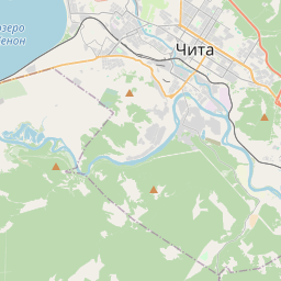
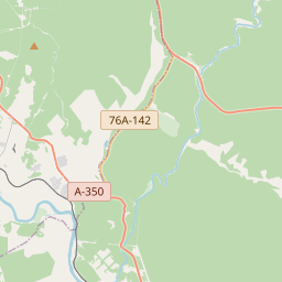
Chitinsky District (Russian: Чити́нский райо́н) is an administrative district (raion), one of the thirty-one in Zabaykalsky Krai, Russia. It is located in the west of the krai, and borders with Karymsky District in the east, Duldurginsky District in the south, and with Khiloksky District in the west.
No mapa
Na Wikipédia
Texto em inglês Ainda não há artigo no seu idioma: trecho em inglês.
Chitinsky District (Russian: Чити́нский райо́н) is an administrative district (raion), one of the thirty-one in Zabaykalsky Krai, Russia. It is located in the west of the krai, and borders with Karymsky District in the east, Duldurginsky District in the south, and with Khiloksky District in the west. The area of the district is 16,100 square kilometers (6,200 sq mi). Its administrative center is the city of Chita. Population (excluding the administrative center): 64,642 (2010 census); 62,221 (2002 Census); 62,366 (1989 Soviet census).
Texto: Wikipédia em inglês, CC BY-SA 4.0. · Imagem: Agnes Vever (CC BY-SA 4.0) ·
Cartas próximas
-
K★
Kyrinsky District
Human settlement in Russia
-
 ★
★
Karymsky District
Administrative division in Zaybaykalsky Krai, Russia
-
 ★
★
Shilkinsky District
Municipal district in Russia
-
 ★
★
Duldurginsky District
Human settlement in Russia
-
 ★★
★★
Mogochinsky District
Human settlement in Russia
-
 ★
★
Zabaykalsky District
Human settlement in Russia