

Incomum · Lugares
Deir Nidham
Village council in Ramallah and al-Bireh Governorate
Deir Nidham (Arabic: دير نظام) is a Palestinian village in the Ramallah and al-Bireh Governorate in the central West Bank. It is located approximately 23 kilometers (14 mi) northwest of the city of Ramallah and its elevation is 590 meters (1,940 ft).
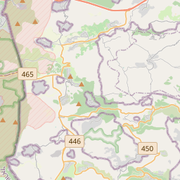
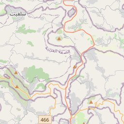
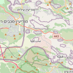
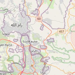
No mapa
Na Wikipédia
Texto em inglês Ainda não há artigo no teu idioma: trecho em inglês.
Deir Nidham (Arabic: دير نظام) is a Palestinian village in the Ramallah and al-Bireh Governorate in the central West Bank. It is located approximately 23 kilometers (14 mi) northwest of the city of Ramallah and its elevation is 590 meters (1,940 ft). According to the Palestinian Central Bureau of Statistics (PCBS) 2017 census, the town had a population of 876. Deir Nidham is located 13.7 kilometers (8.5 mi) northwest of Ramallah. It is bordered by Umm Safa and Kobar to the east, Nabi Salih and Bani Zeid to the north, 'Abud and Bani Zeid to the west, and Al-Itihad to the south. Sherds have been found here from the Byzantine, Crusader/Ayyubid and Mamluk eras. The Mandatory DOA documented a columbarium and a plain mosaic floor at the site. In 1517, the village was included in the Ottoman Empire with the rest of Palestine, and in the 1596 tax-records it appeared as Dayr an-Nidam, located in the Nahiya of Jabal Quds of the Liwa of Al-Quds. The population was 4 households, all Muslim. They paid a fixed tax rate of 25% on agricultural products, which included wheat, barley, olive trees, vineyards and fruit trees, goats and beehives in addition to "occasional revenues"; a total of 1200 akçe.
Texto: Wikipédia em inglês, CC BY-SA 4.0. · Imagem: יעקב (CC BY-SA 3.0) ·