
Denbighshire
Principal area in north-east Wales
Denbighshire ( DEN-bee-shər, -sheer; Welsh: Sir Ddinbych [ˌsiːr ˈðɪnbɨχ]) is a county in the north-east of Wales. It borders the Irish Sea to the north, Flintshire to the east, Wrexham to the southeast, Powys to the south, and Gwynedd and Conwy to the west.
Nº Q650682 ★★
Incomum · Lugares
Denbighshire
Principal area in north-east Wales
Denbighshire ( DEN-bee-shər, -sheer; Welsh: Sir Ddinbych [ˌsiːr ˈðɪnbɨχ]) is a county in the north-east of Wales. It borders the Irish Sea to the north, Flintshire to the east, Wrexham to the southeast, Powys to the south, and Gwynedd and Conwy to the west.
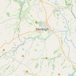
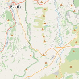
No mapa
Último preço
—
Preço mínimo
—
Mediana 7 d
—
Vendas 30 d
0
Faixa 30 d
—
Em circulação
0
Cotação
mediana
mín – máx
vendas
Sem vendas no período
Ver tabela
| Data | mediana | Mín | Máx | vendas |
|---|
Histórico de vendas
- Última venda
- —
- Média 30 d
- —
- Mínima 30 d
- —
- Máxima 30 d
- —
- Vendas 7 d
- 0
- Vendas 30 d
- 0
Ainda sem vendas.
Vendas anônimas: sem comprador nem vendedor. Os números contam só vendas entre jogadores.
Na Wikipédia
Texto em inglês Ainda não há artigo no seu idioma: trecho em inglês.
Denbighshire ( DEN-bee-shər, -sheer; Welsh: Sir Ddinbych [ˌsiːr ˈðɪnbɨχ]) is a county in the north-east of Wales. It borders the Irish Sea to the north, Flintshire to the east, Wrexham to the southeast, Powys to the south, and Gwynedd and Conwy to the west. Rhyl is the largest town, and Ruthin is the administrative centre. Its borders differ from the historic county of the same name. Denbighshire has an area of 326 square miles (840 km2) and a population of 95,800, making it sparsely populated. The most populous area is the coast, where Rhyl and Prestatyn form a single built-up area with a population of 46,267. The next-largest towns are Denbigh, Ruthin, and Rhuddlan, while St Asaph is its only city. All of these settlements are in the northern half of the county; the south is even less densely populated, and the only towns are Corwen and Llangollen. The geography of Denbighshire is defined by the broad valley of the River Clwyd, which is surrounded by rolling hills on all sides except the north, where it reaches the coast. The Vale of Clwyd, the lower valley, is given over to crops, while cattle and sheep graze the uplands. The Clwydian Range in the east is part of the Clwydian Range and Dee Valley Area of Outstanding Natural Beauty. This part of Wales contains the country's oldest known evidence of habitation – Pontnewydd (Bontnewydd-Llanelwy) Palaeolithic site has Neanderthal remains of some 225,000 years ago. The county is also home to several medieval castles, including Castell Dinas Brân, Denbigh, and Rhuddlan, as well as St Asaph Cathedral. Llangollen International Musical Eisteddfod takes place in the town each July.
Texto: Wikipédia em inglês, CC BY-SA 4.0. · Imagem: Beryl Allcoat (CC BY-SA 2.0) ·


