
Exmoor
Area of hilly open moorland in west Somerset and north Devon in South West England
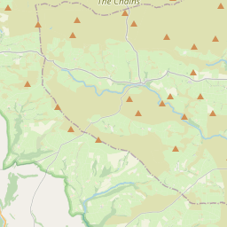
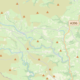
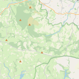
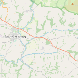
Exmoor ( ) is loosely defined as an area of hilly open moorland in west Somerset and north Devon in South West England. It is named after the River Exe, the source of which is situated in the centre of the area, two miles north-west of Simonsbath.
Nº Q593627 ★★
Incomum · Lugares
Exmoor
Area of hilly open moorland in west Somerset and north Devon in South West England
Exmoor ( ) is loosely defined as an area of hilly open moorland in west Somerset and north Devon in South West England. It is named after the River Exe, the source of which is situated in the centre of the area, two miles north-west of Simonsbath.
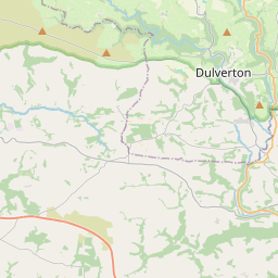
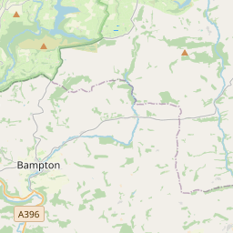
No mapa
Último preço
—
Preço mínimo
—
Mediana 7 d
—
Vendas 30 d
0
Faixa 30 d
—
Em circulação
0
Cotação
mediana
mín – máx
vendas
Sem vendas no período
Ver tabela
| Data | mediana | Mín | Máx | vendas |
|---|
Histórico de vendas
- Última venda
- —
- Média 30 d
- —
- Mínima 30 d
- —
- Máxima 30 d
- —
- Vendas 7 d
- 0
- Vendas 30 d
- 0
Ainda sem vendas.
Vendas anônimas: sem comprador nem vendedor. Os números contam só vendas entre jogadores.
Na Wikipédia
Texto em inglês Ainda não há artigo no seu idioma: trecho em inglês.
Exmoor ( ) is loosely defined as an area of hilly open moorland in west Somerset and north Devon in South West England. It is named after the River Exe, the source of which is situated in the centre of the area, two miles north-west of Simonsbath. Exmoor is more precisely defined as the area of the former ancient royal hunting forest, also called Exmoor, which was officially surveyed 1815–1818 as 18,810 acres (7,610 ha or 76.1 km2) in extent. The moor has given its name to a National Park, which includes the Brendon Hills, the East Lyn Valley, the Vale of Porlock and 55 km (34 mi) of the Bristol Channel coast. The total area of the Exmoor National Park is 692.8 km2 (267.5 mi2), of which 71% is in Somerset and 29% in Devon. The upland area is underlain by sedimentary rocks dating from the Devonian and early Carboniferous periods with Triassic and Jurassic age rocks on lower slopes. Where these reach the coast, cliffs are formed which are cut with ravines and waterfalls. It was recognised as a heritage coast in 1991. The highest point on Exmoor is Dunkery Beacon; at 519 metres (1,703 ft) it is also the highest point in Somerset. The terrain supports lowland heath communities, ancient woodland and blanket mire which provide habitats for scarce flora and fauna. There have also been reports of the Beast of Exmoor, a cryptozoological cat roaming Exmoor. Several areas have been designated as Nature Conservation Review and Geological Conservation Review sites. There is evidence of human occupation from the Mesolithic. This developed for agriculture and extraction of mineral ores into the Bronze and Iron Ages. The remains of standing stones, cairns and bridges can still be identified. The royal forest was granted a charter in the 13th...
Texto: Wikipédia em inglês, CC BY-SA 4.0. · Imagem: Sean_the_Spook (talk) (Uploads) (CC BY-SA 3.0) ·
Cartas próximas

Somerset Levels
Coastal plain and wetland area of Somerset, South West England
Nº Q6376320 ★

Exmoor pony
Horse breed
Nº Q971182 ★★

Quantock Hills
Range of hills west of Bridgwater in Somerset, England
Nº Q1471502 ★

Exmouth
Town in East Devon, England
Nº Q1007093 ★★

Lynmouth
Nº Q1234805 ★

Minehead
Town in Somerset, England
Nº Q1020217 ★★