
Hainich
Mountain range
Hainich (German pronunciation: [ˈhaɪnɪç]) is a forested hill chain in the state of Thuringia in Germany, between the towns of Eisenach, Mühlhausen and Bad Langensalza. Hainich covers an area of around 160 km² (61,8 sq mi), of which, since 31 December 1997, half has been designated as Hainich National Park.
Nº Q314119 ★★★
Rara · Lugares
Hainich
Mountain range
Hainich (German pronunciation: [ˈhaɪnɪç]) is a forested hill chain in the state of Thuringia in Germany, between the towns of Eisenach, Mühlhausen and Bad Langensalza. Hainich covers an area of around 160 km² (61,8 sq mi), of which, since 31 December 1997, half has been designated as Hainich National Park.
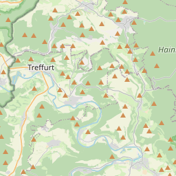
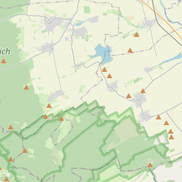
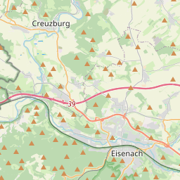
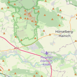
No mapa
Último preço
—
Preço mínimo
—
Mediana 7 d
—
Vendas 30 d
0
Faixa 30 d
—
Em circulação
0
Cotação
mediana
mín – máx
vendas
Sem vendas no período
Ver tabela
| Data | mediana | Mín | Máx | vendas |
|---|
Histórico de vendas
- Última venda
- —
- Média 30 d
- —
- Mínima 30 d
- —
- Máxima 30 d
- —
- Vendas 7 d
- 0
- Vendas 30 d
- 0
Ainda sem vendas.
Vendas anônimas: sem comprador nem vendedor. Os números contam só vendas entre jogadores.
Na Wikipédia
Texto em inglês Ainda não há artigo no seu idioma: trecho em inglês.
Hainich (German pronunciation: [ˈhaɪnɪç]) is a forested hill chain in the state of Thuringia in Germany, between the towns of Eisenach, Mühlhausen and Bad Langensalza. Hainich covers an area of around 160 km² (61,8 sq mi), of which, since 31 December 1997, half has been designated as Hainich National Park. The highest point in Hainich is Alte Berg at 1621 ft (494 m). The Mühlhäuser Stadtwald in the northern part of Hainich is the largest municipal forest in Thuringia. The landmark of Hainich is Betteleiche, a 600-year-old common oak at Ihlefeld.
Texto: Wikipédia em inglês, CC BY-SA 4.0. · Imagem: Rainer Lippert (CC0) ·


