
Halil River
River in Iran
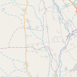
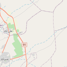
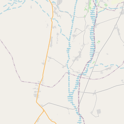
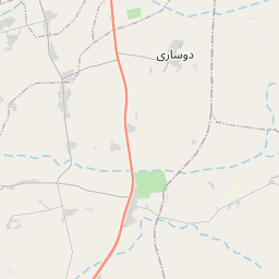
Halīl River or HalīlRood (Persian: هلیلرود) also Haliri River, known as the Kharaw or ZarDasht in its upper reaches, is a river stretching for some 390 kilometres (240 mi) running in the Baft, Jiroft and Kahnuj districts of Kerman Province, Iran. The Halil rises at 4,400 metres (14,400 ft) above sea level in the Kuh-e shah mountain about 20 kilometres (12 mi) to the north-east of Baft, flowing to the south-west until it is joined by the Zardasht and Rabor rivers.
Nº Q1248920 ★★★
Rara · Lugares
Halil River
River in Iran
Halīl River or HalīlRood (Persian: هلیلرود) also Haliri River, known as the Kharaw or ZarDasht in its upper reaches, is a river stretching for some 390 kilometres (240 mi) running in the Baft, Jiroft and Kahnuj districts of Kerman Province, Iran. The Halil rises at 4,400 metres (14,400 ft) above sea level in the Kuh-e shah mountain about 20 kilometres (12 mi) to the north-east of Baft, flowing to the south-west until it is joined by the Zardasht and Rabor rivers.
No mapa
Último preço
—
Preço mínimo
—
Mediana 7 d
—
Vendas 30 d
0
Faixa 30 d
—
Em circulação
0
Cotação
mediana
mín – máx
vendas
Sem vendas no período
Ver tabela
| Data | mediana | Mín | Máx | vendas |
|---|
Histórico de vendas
- Última venda
- —
- Média 30 d
- —
- Mínima 30 d
- —
- Máxima 30 d
- —
- Vendas 7 d
- 0
- Vendas 30 d
- 0
Ainda sem vendas.
Vendas anônimas: sem comprador nem vendedor. Os números contam só vendas entre jogadores.
Na Wikipédia
Texto em inglês Ainda não há artigo no seu idioma: trecho em inglês.
Halīl River or HalīlRood (Persian: هلیلرود) also Haliri River, known as the Kharaw or ZarDasht in its upper reaches, is a river stretching for some 390 kilometres (240 mi) running in the Baft, Jiroft and Kahnuj districts of Kerman Province, Iran. The Halil rises at 4,400 metres (14,400 ft) above sea level in the Kuh-e shah mountain about 20 kilometres (12 mi) to the north-east of Baft, flowing to the south-west until it is joined by the Zardasht and Rabor rivers. Turning towards the south, it flows along the foothills of the Bahr aseman mountains, then to the south-east until Jiroft Dam, which is 130 metres (430 ft) high, about 40 kilometres (25 mi) upstream of Jiroft (28°51′30″N 57°28′0″E) at the confluence with the Narab. It passes some 15 kilometres (9 mi) east of Kahnuj and terminates in the Hamun-e Jaz Murian of Baluchistan. The climate of the Halil Rud or Halilrood (Rud or Rood means "river" in Persian) basin is extremely hot in summer and of moderate temperature in winter. 57 °C (135 °F) in August 1933. The Halil riverbanks are subject to periodical flooding, including the historical flood which destroyed Jiroft in ca. AD 1000, and one in 1993.
Texto: Wikipédia em inglês, CC BY-SA 4.0. · Imagem: Sina.najmadini (CC BY-SA 4.0) ·
Cartas próximas

Rio Hari
Rio do Afeganistão central até o Turcomenistão
Nº Q8505 ★★

Jarahi River
River in Iran
Nº Q283159 ★★★

Haraz River
River in Mazandaran Province, Iran
Nº Q7572056 ★★★★

Chalus River
River in Iran
Nº Q5069085 ★★★

Jiroft Dam
Dam in Jiroft County, Iran
Nº Q6203117 ★★★

Alwand River
River in Iran and Iraq
Nº Q2750065 ★★★