

Comum · Lugares
Heytesbury
Village and civil parish in Wiltshire, England
Heytesbury is a village and a civil parish in Wiltshire, England. It lies on the north bank of the Wylye, about 3+1⁄2 miles (5.6 km) south-east of the town of Warminster. The civil parish includes most of the small neighbouring settlement of Tytherington and the deserted village of Imber.
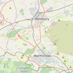
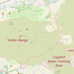
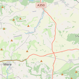
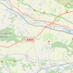
No mapa
Na Wikipédia
Texto em inglês Ainda não há artigo no teu idioma: trecho em inglês.
Heytesbury is a village and a civil parish in Wiltshire, England. It lies on the north bank of the Wylye, about 3+1⁄2 miles (5.6 km) south-east of the town of Warminster. The civil parish includes most of the small neighbouring settlement of Tytherington and the deserted village of Imber. Chalk downland north of Heytesbury village has prehistoric earthworks, including long barrows and round barrows. Strip lynchets are visible north and east of Cotley Hill. The parish lies between the Iron Age hillforts of Scratchbury Camp and Knook Castle. A Romano-British settlement has been identified on Tytherington Hill, in the far south of the parish. Chapperton Down, west of Imber, has evidence of settlement and field systems from the same period and earlier. The Domesday Book of 1086 recorded a small settlement of eight households at Hestrebe, with a church. The hundred of Heytesbury, south and east of Warminster, comprised seventeen places.
Texto: Wikipédia em inglês, CC BY-SA 4.0. · Imagem: Ronald Searle (CC BY-SA 2.0) ·