

Comum · Lugares
High Peak
Borough in Derbyshire, England, UK
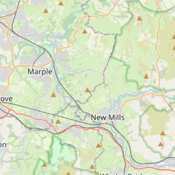
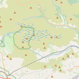
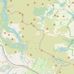
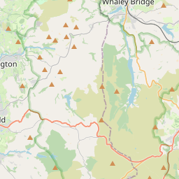
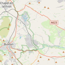
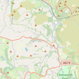
High Peak is a local government district with borough status in Derbyshire, England, covering a high moorland plateau in the Dark Peak area of the Peak District National Park. The district stretches from Holme Moss in the north to Sterndale Moor in the south, and from Hague Bar in the west to Bamford in the east.
No mapa
Na Wikipédia
Texto em inglês Ainda não há artigo no seu idioma: trecho em inglês.
High Peak is a local government district with borough status in Derbyshire, England, covering a high moorland plateau in the Dark Peak area of the Peak District National Park. The district stretches from Holme Moss in the north to Sterndale Moor in the south, and from Hague Bar in the west to Bamford in the east. The population of the borough taken at the 2011 Census was 90,892. The borough is unusual in having two administrative centres for its council, High Peak Borough Council; the offices are in Buxton and Glossop. Other towns include Chapel-en-le-Frith, Hadfield, New Mills and Whaley Bridge. Under current local government restructuring plans it is planned that the district will be abolished in 2028, with its area forming part of a new Derbyshire North unitary authority. High Peak was the name of a hundred of the ancient county of Derbyshire covering a larger area than the current district with the hundred including the town of Bakewell and extending just to the west of Matlock. It may have derived its name from the ancient Forest of High Peak, a royal hunting reserve administered by William Peverel, a favourite of William I, who was based at Peak Castle. High Peak contains much of the Peak District National Park. The district contains the highest point in Derbyshire, Kinder Scout, which stands at 636m (2,087 ft) above sea level. Its settlements act as commuter centres for people who work in the surrounding counties and other parts of Derbyshire, owing to its proximity to Cheshire, Greater Manchester, South Yorkshire, Staffordshire and West Yorkshire.
Texto: Wikipédia em inglês, CC BY-SA 4.0. · Imagem: Onofre_Bouvila. (CC BY 2.5) ·
Cartas próximas
-
 ★★
★★
Glossop
Town and unparished area in High Peak district of Derbyshire, England
-
 ★
★
Dark Peak
Part of the Peak District in England, UK
-
 ★
★
New Mills
Town and civil parish in Derbyshire, England
-
 ★
★
Hadfield, Derbyshire
Town in Derbyshire, England
-
 ★
★
Edale
Village and civil parish in High Peak, Derbyshire, England
-
 ★
★
Derbyshire Dales
Local government district in Derbyshire, England