
Hochfrottspitze
Mountain in the Allgäu Alps at the border of Tyrol, Austria and Bavaria, Germany
The Hochfrottspitze is a 2,649-metre-high (8,691 ft) mountain, made of main dolomite, in the Allgäu Alps near Oberstdorf in Germany and the highest German mountain in the Allgäu Alps. The border with Austria runs along its ridge.
Nº Q315335 ★★★
Rara · Lugares
Hochfrottspitze
Mountain in the Allgäu Alps at the border of Tyrol, Austria and Bavaria, Germany
The Hochfrottspitze is a 2,649-metre-high (8,691 ft) mountain, made of main dolomite, in the Allgäu Alps near Oberstdorf in Germany and the highest German mountain in the Allgäu Alps. The border with Austria runs along its ridge.
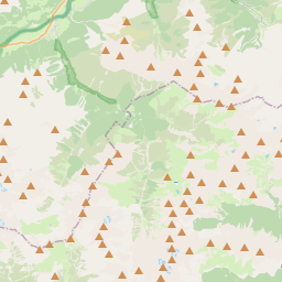
No mapa
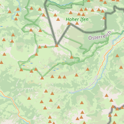
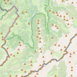

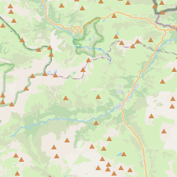
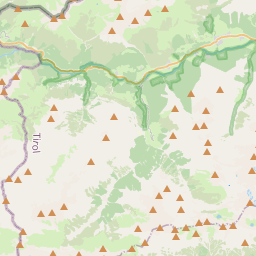
Último preço
—
Preço mínimo
—
Mediana 7 d
—
Vendas 30 d
0
Faixa 30 d
—
Em circulação
0
Cotação
mediana
mín – máx
vendas
Sem vendas no período
Ver tabela
| Data | mediana | Mín | Máx | vendas |
|---|
Histórico de vendas
- Última venda
- —
- Média 30 d
- —
- Mínima 30 d
- —
- Máxima 30 d
- —
- Vendas 7 d
- 0
- Vendas 30 d
- 0
Ainda sem vendas.
Vendas anônimas: sem comprador nem vendedor. Os números contam só vendas entre jogadores.
Na Wikipédia
Texto em inglês Ainda não há artigo no seu idioma: trecho em inglês.
The Hochfrottspitze is a 2,649-metre-high (8,691 ft) mountain, made of main dolomite, in the Allgäu Alps near Oberstdorf in Germany and the highest German mountain in the Allgäu Alps. The border with Austria runs along its ridge. Together with the Trettachspitze and Mädelegabel, the Hochfrottspitze forms the famous triumvirate of peaks on the main crest of the Allgäu Alps. The busy Heilbronn Way (Heilbronner Weg) runs past it to the south and east, about 100–150 metres below the summit. In spite of that, the summit is rarely climbed because the routes to it are challenging. Climbers leave the Heilbronn Way at the wind gap of the Bockkarscharte and ascend from the south following a faint path through broken rubble and schrofen terrain with climbs of UIAA grade I to the start of the vertical summit face which is an exposed grade II+ climb. Somewhat simpler is the western approach from the Waltenberger Haus: this follows the route to the Bockarscharte; it then leaves the path after 20 minutes to climb up steep gullies (grade I) to the arête of the Mountains of Good Hope (Berge der guten Hoffnung). It continues over the scree-covered western ridge, trackless in places, up steps, along railings and climbing sections up to grade I to the summit. Another alternative is the ridge crossing from the Mädelegabel to Hochfrottspitze (exposed grade II climb). The wind gap between the two peaks can be climbed directly from the Schwarzmilzferner. The mountain was first climbed in 1869 by Hermann von Barth.
Texto: Wikipédia em inglês, CC BY-SA 4.0. · Imagem: Frstgr (CC BY-SA 3.0) ·
Cartas próximas

Vielsalm
Nº Q650172 ★★★

Artvim
Distrito e cidade capital da província turca de Artvim
Nº Q193445 ★★★

Norman's Cay
Nº Q1999825 ★★★

Tsim Sha Tsui
Nº Q15022 ★★★

Tirumala
Census town in Tirupati (urban) mandal of Chitturu district, Andhra Pradesh, India
Nº Q3424247 ★★★

Península de Delmarva
Nº Q1044515 ★★★