

Comum · Lugares
Howden
Market town and civil parish in the East Riding of Yorkshire, England
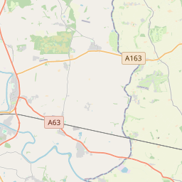
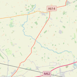
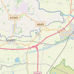
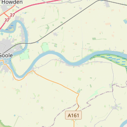
Howden () is a market town and civil parish in the East Riding of Yorkshire, England. It lies in the Vale of York to the north of the M62, on the A614 road about 16 miles (26 km) south-east of York and 3 miles (4.8 km) north of Goole, which lies across the River Ouse.
No mapa
Na Wikipédia
Texto em inglês Ainda não há artigo no seu idioma: trecho em inglês.
Howden () is a market town and civil parish in the East Riding of Yorkshire, England. It lies in the Vale of York to the north of the M62, on the A614 road about 16 miles (26 km) south-east of York and 3 miles (4.8 km) north of Goole, which lies across the River Ouse. It is known for Howden Minster, one of the largest churches in the East Riding. William the Conqueror gave the town to the Bishops of Durham in 1080. The wapentake of Howdenshire was named after the town, and remained an exclave of County Durham until as late as 1846. The original boundaries of the wapentake were used for the current two government wards of Howden and Howdenshire, which had a combined population of 19,753 at the 2011 census.
Texto: Wikipédia em inglês, CC BY-SA 4.0. · Imagem: DS Pugh (CC BY-SA 2.0) ·
Cartas próximas
-
 ★
★
Market Weighton
Town and civil parish in the East Riding of Yorkshire, England
-
 ★★
★★
Goole
Town, civil parish and inland port in the East Riding of Yorkshire, England
-
 ★
★
Selby
-
 ★
★
Pocklington
Town in the East Riding of Yorkshire, England
-
 ★★
★★
Malton
Market town and civil parish in North Yorkshire, England
-
 ★★
★★
Todmorden
Market town and civil parish in the Upper Calder Valley in Calderdale, West Yorkshire, England