

Comum · Lugares
Kaimur district
District of Bihar, India
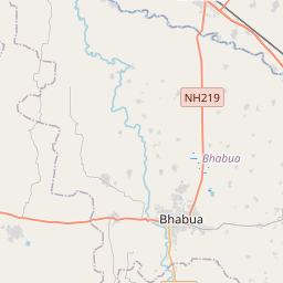
Kaimur district is one of the 38 districts of Bihar, India. The district headquarters are at Bhabua. Before 1991, it was part of Rohtas District.
No mapa
Na Wikipédia
Texto em inglês Ainda não há artigo no seu idioma: trecho em inglês.
Kaimur district is one of the 38 districts of Bihar, India. The district headquarters are at Bhabua. Before 1991, it was part of Rohtas District. Until 1764 the region was a part of Ghazipur District and Kamsaar Raj and later it was a part of Chainpur Estate till 1837. Located in southwestern Bihar in the Patna division, the district occupies an area of 3363 km2 and has a population of 1,626,384 (as of 2011) with the rank of 307th in the country. The district has a Literacy rate of 69.34% (392nd in the country). The district has 18 colleges, 58 high schools, 146 middle schools, and 763 primary schools. The district has a total of 1699 villages. The district also has 120 post offices and 151 panchayat, and is well connected with NH-2 (Grand Trunk Road). It is served by Bhabua Road railway station (BBU) and is located on the main route which connects Sealdah to Mumbai via Gaya Junction. The most spoken languages are Hindi and Bhojpuri. Due to its close proximity to eastern Uttar Pradesh, people here have a Purvanchali tinge in their language.
Texto: Wikipédia em inglês, CC BY-SA 4.0. · Imagem: Nandanupadhyay (CC BY-SA 3.0) ·


