

Comum · Lugares
Kakopetria
Community in Nicosia District, Republic of Cyprus
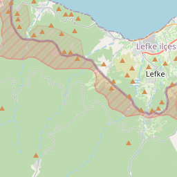
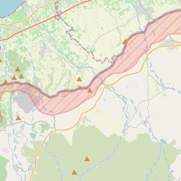
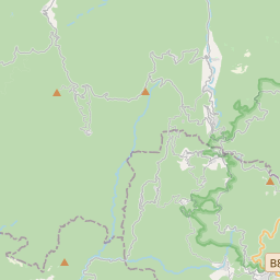
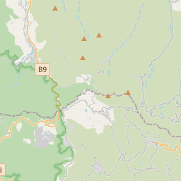
Kakopetria (Greek: Κακοπετριά; Turkish: Kakopetriya) is a town in Cyprus located 55 kilometres (34 mi) southwest of the capital, Nicosia, on the north-facing foothills of the Troodos Mountains. It stands at an altitude of 667 metres and it is the highest village in the Solea Valley.
No mapa
Na Wikipédia
Texto em inglês Ainda não há artigo no teu idioma: trecho em inglês.
Kakopetria (Greek: Κακοπετριά; Turkish: Kakopetriya) is a town in Cyprus located 55 kilometres (34 mi) southwest of the capital, Nicosia, on the north-facing foothills of the Troodos Mountains. It stands at an altitude of 667 metres and it is the highest village in the Solea Valley. The community has about 1,200 permanent inhabitants and a couple hundred more who either have a summer house or are originally from Kakopetria but work in Nicosia. Near Kakopetria there is church from 11th century, Agios Nikolaos tis Stegis, UNESCO World Heritage Site. Kakopetria is surrounded by thick forestland and is built on the banks of the Kargotis and Garillis Rivers. The two rivers join within village itself and form the river Klarios, which crosses the Solea Valley and empties into Morphou Bay. The settlement of Kakopetria is constructed along the valley of the Kargotis and Garillis rivers. The new Kakopetria with its large, modern houses and their tiled roofs, built in the gradient ground and the riverbanks, is located in the eastern part of the valley. The old Kakopetria is built west of the valley and between the two rivers. The roofs of the houses are sloped and tiled and almost all of the houses have an upper floor and a wooden balcony.
Texto: Wikipédia em inglês, CC BY-SA 4.0. · Imagem: Petros3 (CC BY-SA 3.0) ·