
Kargilik
County
Kargilik County (Uyghur: قاغىلىق ناھىيىسى), also known as Yecheng County (Chinese: 叶城县), is a county in southwest of the Xinjiang Uyghur Autonomous Region and is under the administration of the Kashgar Prefecture. It contains an area of 28,600 km2. To the north, the county borders Makit County.
Nº Q1023102 ★★★
Rara · Lugares
Kargilik
County
Kargilik County (Uyghur: قاغىلىق ناھىيىسى), also known as Yecheng County (Chinese: 叶城县), is a county in southwest of the Xinjiang Uyghur Autonomous Region and is under the administration of the Kashgar Prefecture. It contains an area of 28,600 km2. To the north, the county borders Makit County.
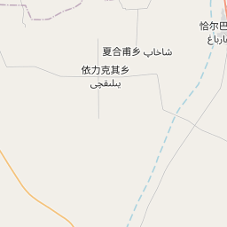
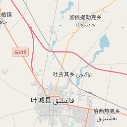
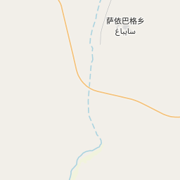
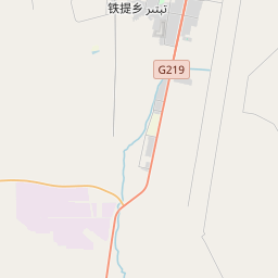
No mapa
Último preço
—
Preço mínimo
—
Mediana 7 d
—
Vendas 30 d
0
Faixa 30 d
—
Em circulação
0
Cotação
mediana
mín – máx
vendas
Sem vendas no período
Ver tabela
| Data | mediana | Mín | Máx | vendas |
|---|
Histórico de vendas
- Última venda
- —
- Média 30 d
- —
- Mínima 30 d
- —
- Máxima 30 d
- —
- Vendas 7 d
- 0
- Vendas 30 d
- 0
Ainda sem vendas.
Vendas anônimas: sem comprador nem vendedor. Os números contam só vendas entre jogadores.
Na Wikipédia
Texto em inglês Ainda não há artigo no seu idioma: trecho em inglês.
Kargilik County (Uyghur: قاغىلىق ناھىيىسى), also known as Yecheng County (Chinese: 叶城县), is a county in southwest of the Xinjiang Uyghur Autonomous Region and is under the administration of the Kashgar Prefecture. It contains an area of 28,600 km2. To the north, the county borders Makit County. To the east, the county borders Guma County (Pishan) in Hotan Prefecture. To the west, the county borders Yarkant County, Poskam County and Taxkorgan Tajik Autonomous County. In the south, the county has a border of more than 80 km (50 mi) with Pakistan and India administered areas of Kashmir.
Texto: Wikipédia em inglês, CC BY-SA 4.0. · Imagem: Eric Feng (CC BY-SA 2.0) ·


