

Incomum · Lugares
Kerry Way
Walking trail in County Kerry, Ireland
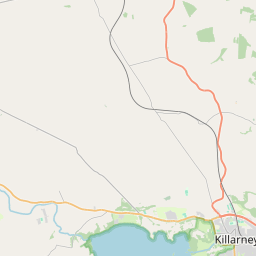
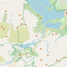
The Kerry Way (Irish: Slí Uíbh Ráthaigh) is a long-distance trail in County Kerry, Ireland. It is a 214-kilometre (133-mile) long circular trail that begins and ends in Killarney and is typically broken into nine stages.
No mapa
Na Wikipédia
Texto em inglês Ainda não há artigo no seu idioma: trecho em inglês.
The Kerry Way (Irish: Slí Uíbh Ráthaigh) is a long-distance trail in County Kerry, Ireland. It is a 214-kilometre (133-mile) long circular trail that begins and ends in Killarney and is typically broken into nine stages. It is designated as a National Waymarked Trail by the National Trails Office of the Irish Sports Council and is managed by Kerry County Council, South Kerry Development Partnership and the Kerry Way Committee. The Way circles the Iveragh Peninsula and forms a walkers' version of the Ring of Kerry road tour. It is the longest of Ireland's National Waymarked Trails. The Kerry Way was first proposed in 1982 and developed by members of the Laune Mountaineering Club and the Kerry association of An Taisce, under the chairmanship of Seán Ó Súilleabháin. Ó Súilleabháin was inspired by a history lecture he had attended given by Father John Hayes on the subject of old roads and paths in the southwest of Ireland. Realising that "there was a spider's web-like network of roads and paths that could be combined to form a route around Kerry", he began devising the trail that would become the Kerry Way. The first section—from Killarney to Glenbeigh—was opened by Tánaiste Dick Spring in 1985. It was the second long-distance trail to be opened in the Republic of Ireland, after the Wicklow Way.
Texto: Wikipédia em inglês, CC BY-SA 4.0. · Imagem: Espresso Addict (CC BY-SA 2.0) ·