

Comum · Lugares
Kolar district
District of Karnataka, India
Kolar district (Kannada: [koːlaːrɐ] ) is a district in the state of Karnataka, India. Kolar (ಕೋಲಾರ) is the district headquarters. Located in southern Karnataka, it is the state's easternmost district.
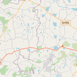
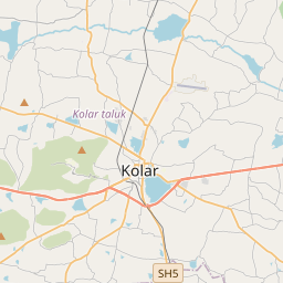
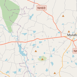
No mapa
Na Wikipédia
Texto em inglês Ainda não há artigo no seu idioma: trecho em inglês.
Kolar district (Kannada: [koːlaːrɐ] ) is a district in the state of Karnataka, India. Kolar (ಕೋಲಾರ) is the district headquarters. Located in southern Karnataka, it is the state's easternmost district. The district is surrounded by the Bangalore Rural district on the west, Chikballapur district on the north, the Chittoor district and Annamayya district of Andhra Pradesh on the east and the Krishnagiri district of Tamil Nadu on the south. As per the 2001 Census, Kolar had a total population of 2,536,069, comprising 1,286,193 males and 1,249,876 females, with a sex ratio of 972 females per 1000 males. On 10 September 2007, it was bifurcated to form the new district of Chikkaballapura district. Due to the discovery of the Kolar Gold Fields, the district has become known as the "Golden Land" of India.
Texto: Wikipédia em inglês, CC BY-SA 4.0. · Imagem: Dineshkannambadi (CC BY-SA 3.0) ·


