

Incomum · Lugares
Labelle, Quebec
Municipality in Quebec, Canada
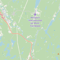
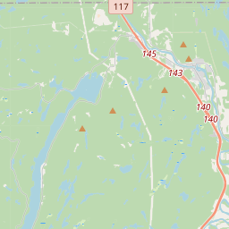
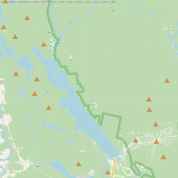
Labelle (French pronunciation: [labɛl]) is a village and municipality in the Laurentides region of Quebec, Canada, part of the Les Laurentides Regional County Municipality. Its large L-shaped territory surrounds Lake Labelle, and the village is located along the Rouge River and Route 117.
No mapa
Na Wikipédia
Texto em inglês Ainda não há artigo no seu idioma: trecho em inglês.
Labelle (French pronunciation: [labɛl]) is a village and municipality in the Laurentides region of Quebec, Canada, part of the Les Laurentides Regional County Municipality. Its large L-shaped territory surrounds Lake Labelle, and the village is located along the Rouge River and Route 117. Labelle was named after Curé Antoine Labelle (1833-1891), a Catholic priest who was the pastor of Saint-Jérôme parish from 1868 to 1891. Nicknamed the “King of the North,” he came up with a plan to resettle French Canadians in northwestern Quebec, northern Ontario and Manitoba, in prevent an exodus to the United States. He helped found some 20 parishes and settled close to 5,000 inhabitants in the region.
Texto: Wikipédia em inglês, CC BY-SA 4.0. · Imagem: P199 (CC BY-SA 3.0) ·
Cartas próximas
-
L★
Labelle (provincial electoral district)
Provincial electoral district in Quebec, Canada
-
 ★
★
Saint-Raphaël (Quebec)
-
 ★★
★★
La Guadeloupe
-
 ★
★
Saint-Gabriel-Lalemant, Quebec
Municipality in Quebec, Canada
-
 ★
★
Saint-Norbert
Parish municipality in Quebec, Canada
-
 ★★
★★
Rivière-Bleue
Municipality in Bas-Saint-Laurent, Quebec, Canada