
Lake Nipissing
Lake in Ontario, Canada
Lake Nipissing (; French: lac Nipissing, Ojibwe: ᑭᒋᓂᐲᓐᓯᓐᓵᑲᐃᑲᓐ, romanized: Gichi-nibiinsing-zaaga’igan) is a lake in the Canadian province of Ontario. It has a surface area of 873.3 km2 (337.2 sq mi), a mean elevation of 196 m (643 ft) above sea level, and is located between the Ottawa River and Georgian Bay.
Nº Q1356838 ★
Comum · Lugares
Lake Nipissing
Lake in Ontario, Canada
Lake Nipissing (; French: lac Nipissing, Ojibwe: ᑭᒋᓂᐲᓐᓯᓐᓵᑲᐃᑲᓐ, romanized: Gichi-nibiinsing-zaaga’igan) is a lake in the Canadian province of Ontario. It has a surface area of 873.3 km2 (337.2 sq mi), a mean elevation of 196 m (643 ft) above sea level, and is located between the Ottawa River and Georgian Bay.
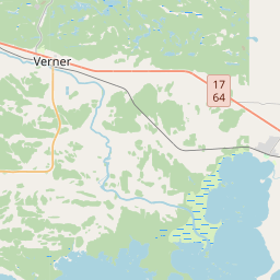
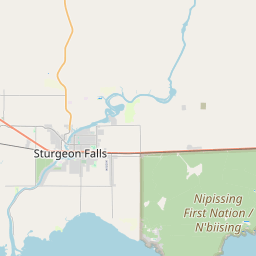
No mapa
Último preço
—
Preço mínimo
—
Mediana 7 d
—
Vendas 30 d
0
Faixa 30 d
—
Em circulação
0
Cotação
mediana
mín – máx
vendas
Sem vendas no período
Ver tabela
| Data | mediana | Mín | Máx | vendas |
|---|
Histórico de vendas
- Última venda
- —
- Média 30 d
- —
- Mínima 30 d
- —
- Máxima 30 d
- —
- Vendas 7 d
- 0
- Vendas 30 d
- 0
Ainda sem vendas.
Vendas anônimas: sem comprador nem vendedor. Os números contam só vendas entre jogadores.
Na Wikipédia
Texto em inglês Ainda não há artigo no seu idioma: trecho em inglês.
Lake Nipissing (; French: lac Nipissing, Ojibwe: ᑭᒋᓂᐲᓐᓯᓐᓵᑲᐃᑲᓐ, romanized: Gichi-nibiinsing-zaaga’igan) is a lake in the Canadian province of Ontario. It has a surface area of 873.3 km2 (337.2 sq mi), a mean elevation of 196 m (643 ft) above sea level, and is located between the Ottawa River and Georgian Bay. Lake Nipissing is the third-largest lake entirely in Ontario. It is relatively shallow for a large lake, with an average depth of only 4.5 m (15 ft). The shallowness of the lake makes for many sandbars along the lake's irregular shoreline. The lake reaches a maximum depth of 64 m (210 ft) near the mouth of the French River, off the shore of Blueberry Island. The lake has many islands most of which are protected under the Protection of Significant Wetlands scheme, controlled by the Ministry of Natural Resources and Forestry. The largest population centre on the lake's shoreline is the city of North Bay. North Bay sits along the lake's northeastern shoreline. Other notable towns include Callander (south of North Bay along Highway 11). The larger towns toward the western end of the lake are Sturgeon Falls, Garden Village, Cache Bay and Lavigne.
Texto: Wikipédia em inglês, CC BY-SA 4.0. · Imagem: NASA WorldWind (Public domain) ·


