
Lake Oahe
Fourth-largest US reservoir, in South and North Dakota
Lake Oahe () is a large reservoir behind the Oahe Dam on the Missouri River; it begins in central South Dakota and continues north into North Dakota in the United States. The lake has an area of 370,000 acres (1,500 km2) and a maximum depth of 205 ft (62 m). By volume, it is the fourth-largest reservoir in the US.
Nº Q474408 ★
Comum · Lugares
Lake Oahe
Fourth-largest US reservoir, in South and North Dakota
Lake Oahe () is a large reservoir behind the Oahe Dam on the Missouri River; it begins in central South Dakota and continues north into North Dakota in the United States. The lake has an area of 370,000 acres (1,500 km2) and a maximum depth of 205 ft (62 m). By volume, it is the fourth-largest reservoir in the US.
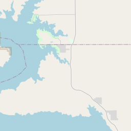
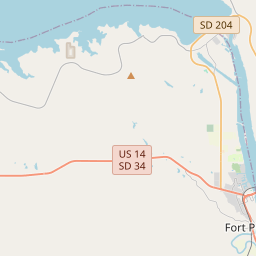
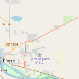
No mapa
Último preço
—
Preço mínimo
—
Mediana 7 d
—
Vendas 30 d
0
Faixa 30 d
—
Em circulação
0
Cotação
mediana
mín – máx
vendas
Sem vendas no período
Ver tabela
| Data | mediana | Mín | Máx | vendas |
|---|
Histórico de vendas
- Última venda
- —
- Média 30 d
- —
- Mínima 30 d
- —
- Máxima 30 d
- —
- Vendas 7 d
- 0
- Vendas 30 d
- 0
Ainda sem vendas.
Vendas anônimas: sem comprador nem vendedor. Os números contam só vendas entre jogadores.
Na Wikipédia
Texto em inglês Ainda não há artigo no seu idioma: trecho em inglês.
Lake Oahe () is a large reservoir behind the Oahe Dam on the Missouri River; it begins in central South Dakota and continues north into North Dakota in the United States. The lake has an area of 370,000 acres (1,500 km2) and a maximum depth of 205 ft (62 m). By volume, it is the fourth-largest reservoir in the US. Lake Oahe has a length of approximately 231 mi (372 km) and has a shoreline of 2,250 mi (3,620 km). 51 recreation areas are located along Lake Oahe, and 1.5 million people visit the reservoir every year. The lake is named for the 1874 Oahe Indian Mission. Lake Oahe begins just north of Pierre, South Dakota and extends nearly as far north as Bismarck, North Dakota. Mobridge, South Dakota is located on the eastern shore of the central portion of the lake. Bridges over Lake Oahe include US Route 212 west of Gettysburg, South Dakota and US Route 12 at Mobridge. The former town of Forest City has been flooded beneath Lake Oahe, about 9 miles west of Gettysburg. Prehistoric archaeological sites have been explored in the area, including Molstad Village near Mobridge. It dates to before the emergence of the Arikara, Hidatsa, and Mandan as separate peoples, and has been designated as a National Historic Landmark.
Texto: Wikipédia em inglês, CC BY-SA 4.0. · Imagem: Doc Searls from Santa Barbara, USA (CC BY-SA 2.0) ·
Cartas próximas

Lago de Ozarks
Nº Q1801120 ★★★

Lake Pend Oreille
Lake in Kootenai and Bonner counties in Idaho, United States
Nº Q1632195 ★★★

Lago Tahoe
Nº Q169962 ★★★★

Devils Lake (North Dakota)
Lake of the United States of America
Nº Q5267424 ★

Lake Keowee
Reservoir in South Carolina, United States
Nº Q6476437 ★★

Lago Mead
Nº Q654515 ★★★★