

Incomum · Lugares
Luntai County
County
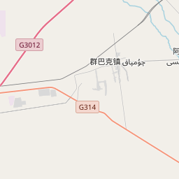
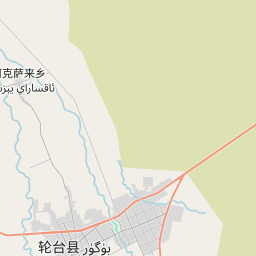
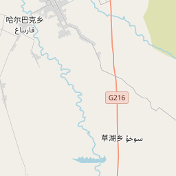
Luntai County, also known as Bugur County or Bügür County (transliterated from Mongolian), is a county in central Xinjiang Uyghur Autonomous Region under the administration of the Bayin'gholin Mongol Autonomous Prefecture. It contains an area of 14,189 km2 (5,478 sq mi).
No mapa

Na Wikipédia
Texto em inglês Ainda não há artigo no teu idioma: trecho em inglês.
Luntai County, also known as Bugur County or Bügür County (transliterated from Mongolian), is a county in central Xinjiang Uyghur Autonomous Region under the administration of the Bayin'gholin Mongol Autonomous Prefecture. It contains an area of 14,189 km (5,478 sq mi). According to the 2002 census, it has a population of 90,000. Luntai has a long history. When the city refused aid to Li Guangli's Fergana campaign (c. 101 BC), the inhabitants were slaughtered. Around 80 BC, a military colony of the Han dynasty was established on the site. In 60 BC, the Han dynasty established the Protectorate of the Western Regions, with the Protector General stationed in Wulei in present Luntai County. As of 1885, there was about 25,100 acres (165,700 mu) of cultivated land in Bugur. Luntai County includes 4 towns and 7 townships.
Texto: Wikipédia em inglês, CC BY-SA 4.0. · Imagem: Windmemories (CC BY-SA 4.0) ·