

Comum · Lugares
Marple
Town in Stockport, Greater Manchester, England
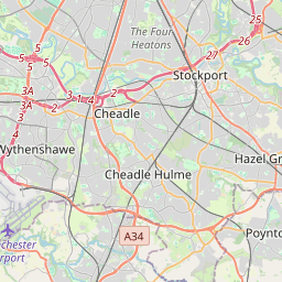
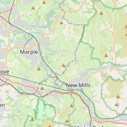
Marple is a town in the Metropolitan Borough of Stockport, Greater Manchester, England. It is on the River Goyt, 9 miles (14 km) south-east of Manchester, 9 miles (14 km) north of Macclesfield and 4 miles (6 km) south-east of Stockport. At the 2021 census, the built up area had a population of 12,970.
No mapa
Na Wikipédia
Texto em inglês Ainda não há artigo no seu idioma: trecho em inglês.
Marple is a town in the Metropolitan Borough of Stockport, Greater Manchester, England. It is on the River Goyt, 9 miles (14 km) south-east of Manchester, 9 miles (14 km) north of Macclesfield and 4 miles (6 km) south-east of Stockport. At the 2021 census, the built up area had a population of 12,970. It lies within the historic county boundaries of Cheshire (although its district Marple Bridge was historically partially in Derbyshire), and became part of Greater Manchester in 1974. The town lies along the Peak Forest Canal, which contains the Marple Lock Flight and Marple Aqueduct. The Roman Lakes, to the south-east of the town centre, attracts anglers and walkers. The town is served by two railway stations: Marple and Rose Hill Marple, providing access to the rail network in Greater Manchester, a direct line to Sheffield and beyond. It is also close to the Middlewood Way, a shared use path following the former Macclesfield, Bollington and Marple Railway line south from Rose Hill to Macclesfield.
Texto: Wikipédia em inglês, CC BY-SA 4.0. · Imagem: Mike from Woodley, Cheshire, England (CC BY-SA 2.0) ·
Cartas próximas
-
 ★★★
★★★
Stockport (Grande Manchester)
Cidade da Grande Manchester
-
 ★
★
Dukinfield
Town in Tameside, Greater Manchester, England
-
 ★★
★★
Tameside
Metropolitan borough of Greater Manchester in England
-
 ★
★
Hyde
Town in the Metropolitan Borough of Tameside, Greater Manchester, England
-
 ★
★
New Mills
Town and civil parish in Derbyshire, England
-
 ★
★
Ashton-in-Makerfield
Town in Wigan, Greater Manchester, UK