

Incomum · Lugares
MARTA rail
Rapid transit system in Atlanta, Georgia
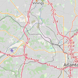
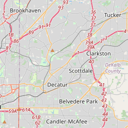
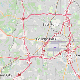
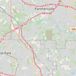
The MARTA rail network, a component of the Metropolitan Atlanta Rapid Transit Authority system in Metro Atlanta, has four service lines: the Red, Gold, Blue, and Green lines. The lines span 48 miles (77 km) in Atlanta and the surrounding suburbs along two general corridors.
No mapa
Na Wikipédia
Texto em inglês Ainda não há artigo no seu idioma: trecho em inglês.
The MARTA rail network, a component of the Metropolitan Atlanta Rapid Transit Authority system in Metro Atlanta, has four service lines: the Red, Gold, Blue, and Green lines. The lines span 48 miles (77 km) in Atlanta and the surrounding suburbs along two general corridors. The Red and Gold lines mainly run along the north–northeast corridor, and the Blue and Green Lines run along the east–west corridor. The two corridors connect at the Five Points station, which is the only station where transfers are possible between all four lines. In 2025, the system had a ridership of 30,373,600, or about 152,000 per weekday as of the second quarter of 2026. The rail system was approved by voters in Dekalb and Fulton counties in 1971 and began operation on June 30, 1979, with the East Line between Avondale and Georgia State stations. The last major expansion opened on December 16, 2000, in Sandy Springs.
Texto: Wikipédia em inglês, CC BY-SA 4.0. · Imagem: DeKalb at English Wikipedia (CC BY-SA 3.0) ·


