
Meru Peak
Mountain
Meru Peak is a mountain located in the Garhwal Himalayas, in the state of Uttarakhand in India. The 6,660-metre (21,850 ft) peak lies between Thalay Sagar and Shivling, and has some highly challenging routes. The name Meru likely originated from the Sanskrit word for "peak".
Nº Q2586260 ★★
Incomum · Lugares
Meru Peak
Mountain
Meru Peak is a mountain located in the Garhwal Himalayas, in the state of Uttarakhand in India. The 6,660-metre (21,850 ft) peak lies between Thalay Sagar and Shivling, and has some highly challenging routes. The name Meru likely originated from the Sanskrit word for "peak".
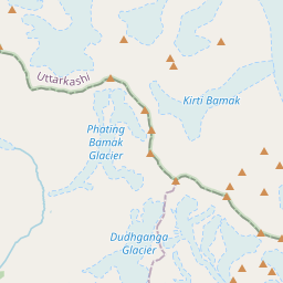
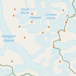
No mapa


Último preço
—
Preço mínimo
—
Mediana 7 d
—
Vendas 30 d
0
Faixa 30 d
—
Em circulação
0
Cotação
mediana
mín – máx
vendas
Sem vendas no período
Ver tabela
| Data | mediana | Mín | Máx | vendas |
|---|
Histórico de vendas
- Última venda
- —
- Média 30 d
- —
- Mínima 30 d
- —
- Máxima 30 d
- —
- Vendas 7 d
- 0
- Vendas 30 d
- 0
Ainda sem vendas.
Vendas anônimas: sem comprador nem vendedor. Os números contam só vendas entre jogadores.
Na Wikipédia
Texto em inglês Ainda não há artigo no seu idioma: trecho em inglês.
Meru Peak is a mountain located in the Garhwal Himalayas, in the state of Uttarakhand in India. The 6,660-metre (21,850 ft) peak lies between Thalay Sagar and Shivling, and has some highly challenging routes. The name Meru likely originated from the Sanskrit word for "peak". The mountain was formerly the site of the world's highest BASE jump from a location on the surface of the Earth by Glenn Singleman and Heather Swan, from a height of 6,604 metres (21,667 ft), in June 2006, a record which has since been surpassed by Valery Rozov's 2013 jump from the North Face of Mount Everest. The mountain has three distinct peaks: southern (6,660 metres; 21,850 ft), central (6,310 metres; 20,700 ft), and northern (6,450 metres; 21,160 ft). The two higher peaks were climbed earlier than the harder central peak, which was first climbed in a 2001 solo ascent by Valery Babanov, twice by other teams in 2006, and for the first time along the "Shark's Fin" route in 2011.
Texto: Wikipédia em inglês, CC BY-SA 4.0. · Imagem: lluis Cabarrocas Ribas from Girona, Catalunya (Spain) (CC BY 2.0) ·


