
Monte Bue
Mountain in Italy
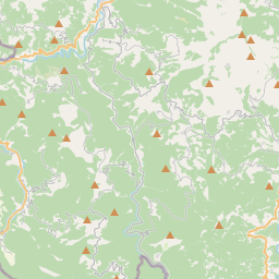
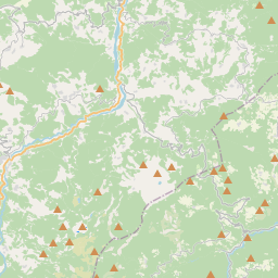
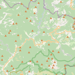
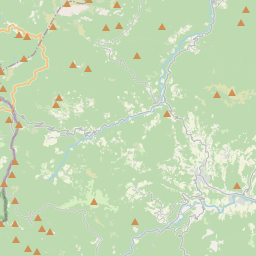
Mount Bue is a mountain in the Ligurian Apennines that is part of the Maggiorasca mountain group, located on the watershed between the Aveto, Ceno and Nure valleys, on the border between the metropolitan city of Genoa and the provinces of Parma and Piacenza, between the municipalities of Santo Stefano d'Aveto, Bedonia and Ferriere. It is the second highest peak in the Ligurian Apennines, after nearby Mount Maggiorasca and the highest peak in the province of Piacenza.
Nº Q3861262 ★★
Incomum · Lugares
Monte Bue
Mountain in Italy
Mount Bue is a mountain in the Ligurian Apennines that is part of the Maggiorasca mountain group, located on the watershed between the Aveto, Ceno and Nure valleys, on the border between the metropolitan city of Genoa and the provinces of Parma and Piacenza, between the municipalities of Santo Stefano d'Aveto, Bedonia and Ferriere. It is the second highest peak in the Ligurian Apennines, after nearby Mount Maggiorasca and the highest peak in the province of Piacenza.
No mapa
Último preço
—
Preço mínimo
—
Mediana 7 d
—
Vendas 30 d
0
Faixa 30 d
—
Em circulação
0
Cotação
mediana
mín – máx
vendas
Sem vendas no período
Ver tabela
| Data | mediana | Mín | Máx | vendas |
|---|
Histórico de vendas
- Última venda
- —
- Média 30 d
- —
- Mínima 30 d
- —
- Máxima 30 d
- —
- Vendas 7 d
- 0
- Vendas 30 d
- 0
Ainda sem vendas.
Vendas anônimas: sem comprador nem vendedor. Os números contam só vendas entre jogadores.
Na Wikipédia
Texto em inglês Ainda não há artigo no seu idioma: trecho em inglês.
Mount Bue is a mountain in the Ligurian Apennines that is part of the Maggiorasca mountain group, located on the watershed between the Aveto, Ceno and Nure valleys, on the border between the metropolitan city of Genoa and the provinces of Parma and Piacenza, between the municipalities of Santo Stefano d'Aveto, Bedonia and Ferriere. It is the second highest peak in the Ligurian Apennines, after nearby Mount Maggiorasca and the highest peak in the province of Piacenza. The Ligurian side falls within the territory of the Aveto Natural Regional Park, while the Emilian side falls within the SCI Monte Nero, Monte Maggiorasca, La Ciapa Liscia.
Texto: Wikipédia em inglês, CC BY-SA 4.0. · Imagem: Cappe (CC BY 3.0) ·
Cartas próximas
-

Monte Beigua
Mountain in Liguria, Italy
Nº Q1299731 ★★★
Sem ofertas
-

Monte Fasce
Mountain
Nº Q1464074 ★★★
Sem ofertas
-

Monte Penna
Mountain
Nº Q830251 ★★★★
Sem ofertas
-

Monte Mutria
Mountain of the Apennines, on the Campania-Molise border
Nº Q1179065 ★★
Sem ofertas
-

Monte Tambura
Mountain in Italy
Nº Q3862057 ★★
Sem ofertas
-

Bolognese Apennines
Part of the Tuscan-Emilian Apennines
Nº Q3620864 ★★
Sem ofertas